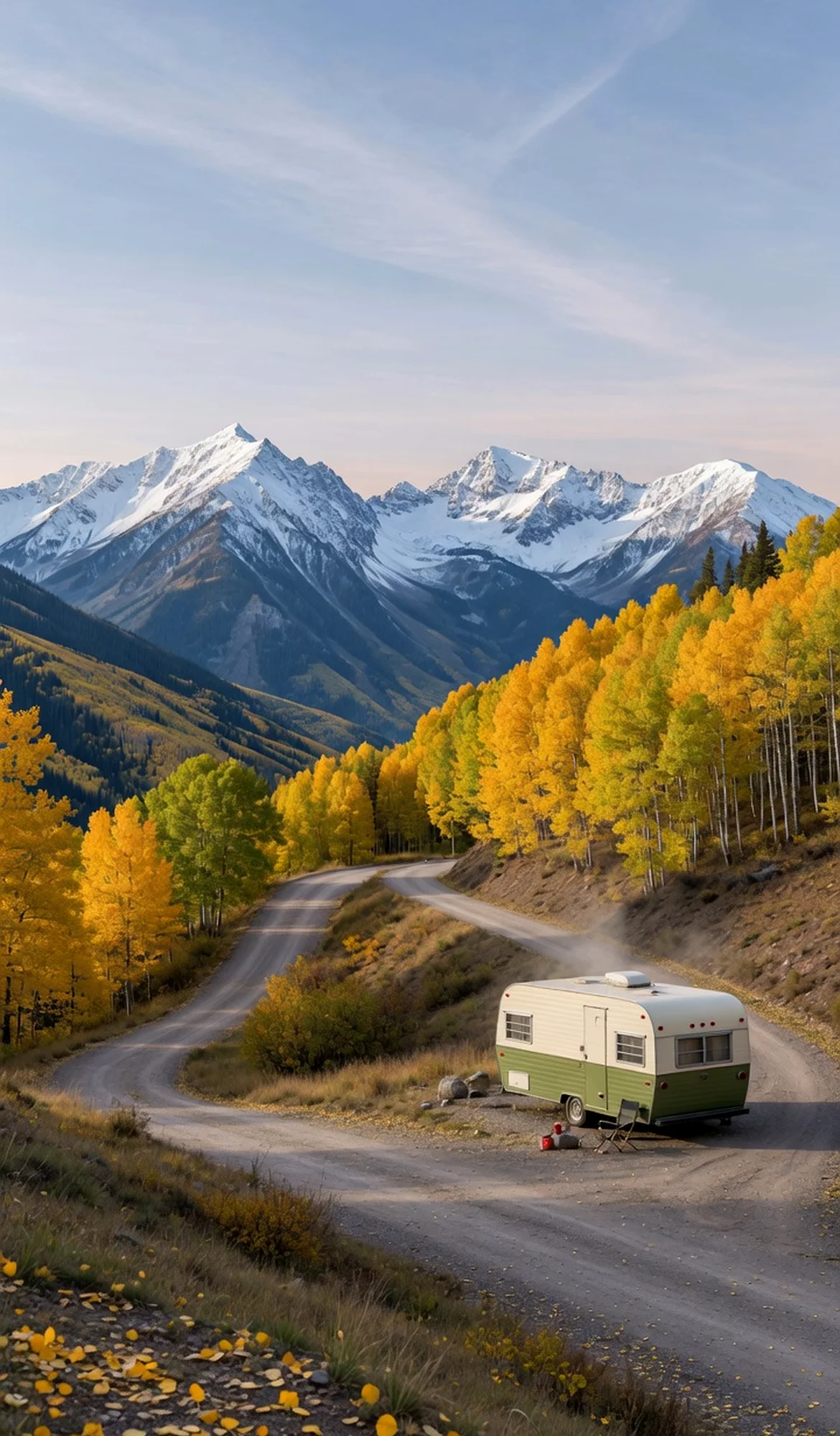
Picture Canyon lies within the Comanche National Grassland in far southeastern Colorado, managed by the U.S. Forest Service as part of the Pike-San Isabel National Forests and Cimarron and Comanche National Grasslands. The Comanche National Grassland spans Baca, Las Animas, and Otero counties and covers about 443,784 acres of prairie and canyon country. Picture Canyon takes its name from the rock art on its canyon walls, and a hiking trail (the Arch Rock Trail, #1881) leads visitors into this quiet, remote landscape.
Best season — Spring and fall offer the most comfortable weather for hiking the canyon, with wildflowers possible in spring. Summer can be hot and storm-prone on the open prairie, and winter is cold; carry water in every season. Check current access before traveling, as roads are unpaved and remote.
What is Picture Canyon in Comanche National Grassland?
Picture Canyon is a canyon within the Comanche National Grassland in southeastern Colorado, managed by the U.S. Forest Service. The Forest Service notes that the grassland spans Baca, Las Animas, and Otero counties and covers about 443,784 acres, and that the Arch Rock Trail (#1881) runs through Picture Canyon, which is named for its rock art. Visit respectfully: stay on the trail, carry water, and never touch or mark the rock art.
- Within the USFS Comanche National Grassland in southeastern Colorado.
- Grassland covers about 443,784 acres across Baca, Las Animas, and Otero counties.
- Picture Canyon is named for its rock art; the Arch Rock Trail (#1881) runs through it.
- Treat the rock art as fragile, irreplaceable heritage: view from the trail and never touch it.
At a glance
The facts worth checking before you roll out
Conservative, source-minded facts for planning your visit — always worth confirming against current conditions before you travel.
Managing agency
U.S. Forest Service (Pike-San Isabel National Forests and Cimarron and Comanche National Grasslands)
Location
Comanche National Grassland, southeastern Colorado (Baca, Las Animas, and Otero counties)
Grassland size
About 443,784 acres
Trail
Arch Rock Trail #1881 runs through Picture Canyon
On the ground
The Comanche National Grassland is one of the most remote corners of Colorado, a sweep of shortgrass prairie cut by sandstone canyons. The U.S. Forest Service notes that the grassland sits in Baca, Las Animas, and Otero counties and manages about 443,784 acres. Picture Canyon, on its southern reaches near Campo, draws its name from the rock art on its walls, and the Forest Service maps the Arch Rock Trail (#1881) through it.
Because rock art at sites like this is fragile, irreplaceable cultural heritage, the same respect agencies emphasize everywhere applies here: stay on the trail, keep your distance from the canyon walls, and never touch, chalk, or deface the images. Skin oils and any contact cause permanent harm, and these markings are protected by federal law. View and photograph from a respectful distance and leave the canyon exactly as you found it.
This is genuinely backcountry travel. Services are sparse, the Forest Service advises visitors to carry water with you, and the trail can be hard to follow, so look for cairns or stone posts to stay on route. RV travelers should plan fuel, water, and supplies well ahead and be prepared for unpaved access roads. Confirm current conditions and access on the official USFS page before committing to the drive.
Picture Canyon rewards an unhurried, low-impact visit. Pair it with the wider Comanche National Grassland and treat the rock art as a privilege to witness rather than a destination to conquer.
Official sources
Nearby & related
Keep planning Colorado
Sourced costs, campground directories, and the places worth a detour — the next layer of Colorado trip planning.
- Colorado RV rental costFuel · camping · tax, sourced
- Colorado RV-friendly campgroundsHookups, rig limits, booking tips
- Campervan & van rentals in ColoradoVan-life routes, rules & rigs
- RV rentals in ColoradoPickRV Wiki · 6 min read
- National monumentsProtected-land guides
- Scenic landmarksBucket-list overlooks
- Wildlife refugesWildlife-watching stops
- RV renter basicsFirst-rental fundamentals
Planning an RV trip near Picture Canyon, Comanche National Grassland: A Respectful RV Traveler's Guide?
Was this guide helpful?