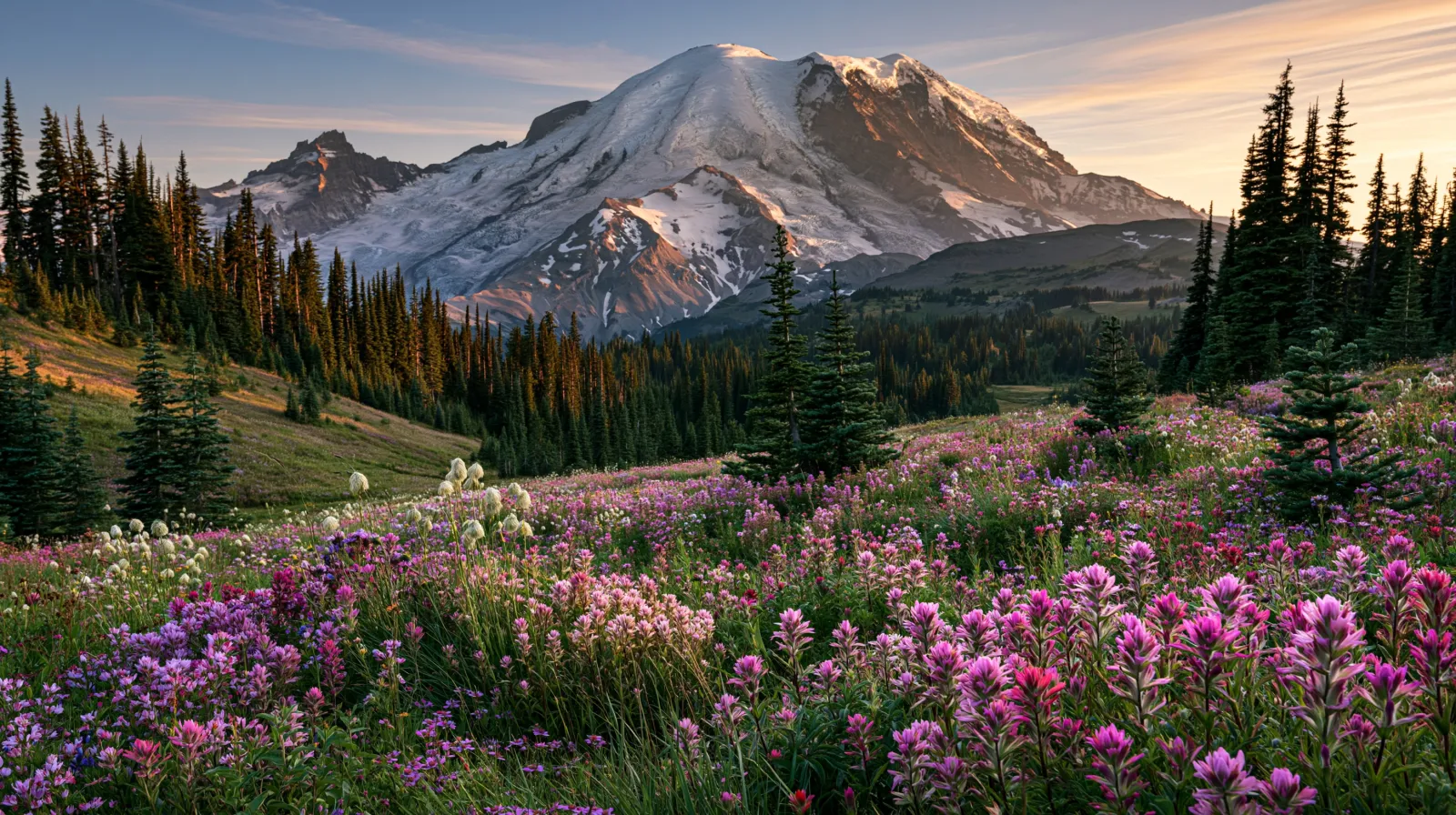
Mount Rainier is a glacier-clad volcano southeast of Seattle, Washington, and the centerpiece of Mount Rainier National Park. At about 14,400 feet it is the tallest peak in the Cascade Range, ringed by old-growth forest and subalpine meadows that erupt with wildflowers in midsummer. Paradise and Sunrise are the best-known viewpoint areas.
When is the best time to visit Mount Rainier in an RV?
Mid-to-late summer (about July–September) is the prime window, when high meadows are snow-free and wildflowers peak. NPS campgrounds are seasonal; check the official site for road and campground opening dates.
- Wildflower peak typically late July–August
- Seasonal NPS campgrounds
- Snow lingers at high elevations into summer
At a glance
The facts worth checking before you roll out
Conservative, source-minded facts for planning your visit — always worth confirming against current conditions before you travel.
State
Washington
Summit elevation
~14,400 ft
Range
Cascade Range
Best window
July–September
On the ground
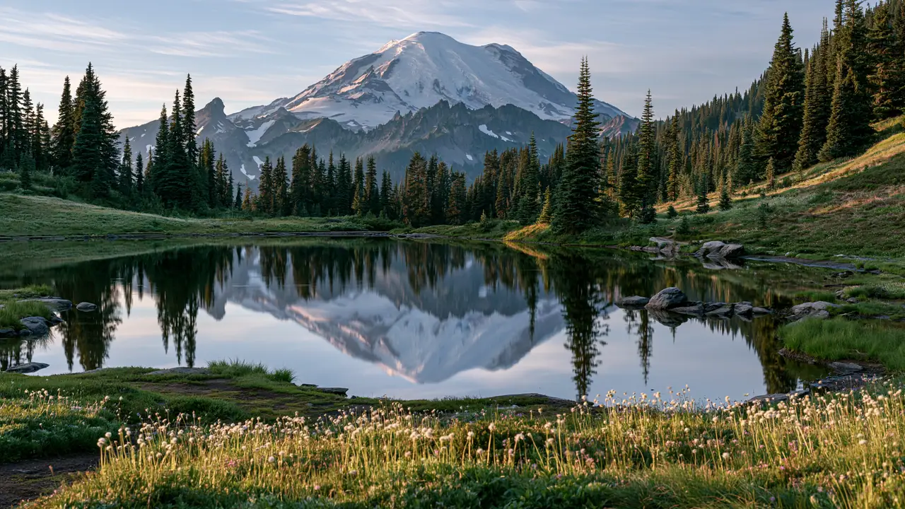
The mountain makes its own weather, so views come and go; clear summer mornings are the reliable bet for the classic reflected-peak photos at Reflection Lakes and Tipsoo Lake.
Roads to the highest viewpoints open only after the snowpack clears, which varies year to year. Lower forest campgrounds open earlier than the alpine areas.
Check current road status, campground openings, and rig-size limits on the National Park Service site before planning your route up the mountain.
Official sources
- National Park Service — Mount Rainier National Park National Park Service
Nearby & related
Keep planning Washington
Sourced costs, campground directories, and the places worth a detour — the next layer of Washington trip planning.
- Washington RV rental costFuel · camping · tax, sourced
- Washington RV-friendly campgroundsHookups, rig limits, booking tips
- Campervan & van rentals in WashingtonVan-life routes, rules & rigs
- National memorialsMonumental road stops
- National preservesBackcountry-scale wilds
- Lakes & reservoirsWaterside camps & guides
- Deep trip guidesLong-form seasonal playbooks
Planning an RV trip near Mount Rainier: An RV Traveler's Guide?
Was this guide helpful?