Day hike · trailhead + RV staging
The Subway
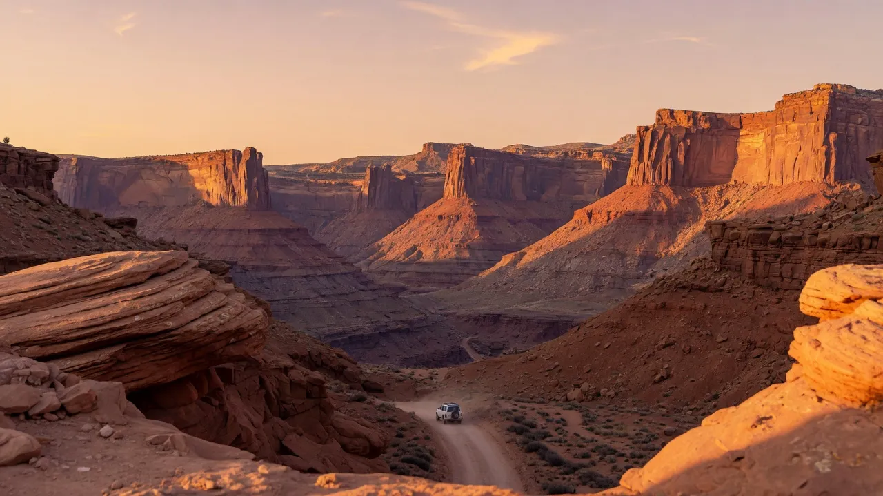
Utah landscape — scene-setting, not a photograph of the trail.
- Length
- 9.5 mi
- Elevation gain
- 1,450 ft
- Difficulty
- Very strenuous
9.5 mi · 80 daily permits across two route variants · Left Fork trailhead is car-only with 25 spaces. Rig parks at Watchman, 45 min east. Bottom-up follows the riverbed itself for 3+ miles — flash-flood awareness mandatory.
Field almanac
- State
- Utah
- Trail type
- Day hike
- Sources
- Cited official (.gov / .org)
At a glance
The facts that set the plan
The trail’s own numbers plus the rig-truth at the trailhead — always worth confirming against current agency conditions before you roll out.
Length
9.5 mi
Elevation gain
1,450 ft
Difficulty
Very strenuous
Trailhead parking
25 spaces
Car-only lot
Shuttle
Not required
Permit
Required
The trail
Walking the The Subway
Two completely different hikes share the Subway name. The bottom-up route from the Left Fork trailhead is a 9.5-mile non-technical scramble that culminates at the iconic tube-shaped slot section. The top-down route from Wildcat Canyon is a technical canyoneering descent requiring rappels, swims through 50-degree water, and Class 4 downclimbing — a different sport. Both routes require a recreation.gov permit drawn three months ahead, capped at 80 daily permits between the two options combined. The Left Fork trailhead sits on Kolob Terrace Road, 25 miles from Springdale — the road is paved but narrow and the parking lot is car-only with 25 spaces, no RV pull-throughs. Rigs stage at Watchman Campground in Zion's main canyon, 45 minutes east. The bottom-up route loses the trail at the Left Fork river crossing and follows the riverbed itself for 3+ miles — flash-flood awareness is the operating safety constraint.
Where the rig goes
Stage the rig, then walk in
The trail is administered by Zion National Park. On a trail like this the rig rarely reaches the trailhead itself — the planning fact is where it waits while you walk.
The staging trailhead holds roughly 25 vehicles, and the lot is car-only — leave the rig at the nearest basecamp and arrive early. Secure the permit or lottery slot before you build the trip around it.
Closest RV-friendly basecamp: Watchman Campground (45 min east of Left Fork trailhead).
Official sources
- The subway National Park Service
- Permits Recreation.gov
- Wilderness permits National Park Service
Utah rules · last verified 2026-05-10
- State rental tax
- 7.6% · not collected by PickRV
- Min driver age
- 18+ std · 21+ Class A
- Gravel roads
- Allowed — no restriction
- Generator quiet
- 22:00-08:00
Nearby & related
Keep planning Utah
Sourced costs, campground directories, and the places worth a detour — the next layer of Utah trip planning.
- Utah RV rental costFuel · camping · tax, sourced
- Utah RV-friendly campgroundsHookups, rig limits, booking tips
- Campervan & van rentals in UtahVan-life routes, rules & rigs
- Utah Mighty 5PickRV Wiki · 15 min read
- RV rentals in UtahPickRV Wiki · 6 min read
- Fossil sitesDeep-time road stops
- Petroglyph sitesAncient rock-art stops
- Wild-horse rangesMustang-range guides
Planning an RV trip to Utah?
Was this guide helpful?