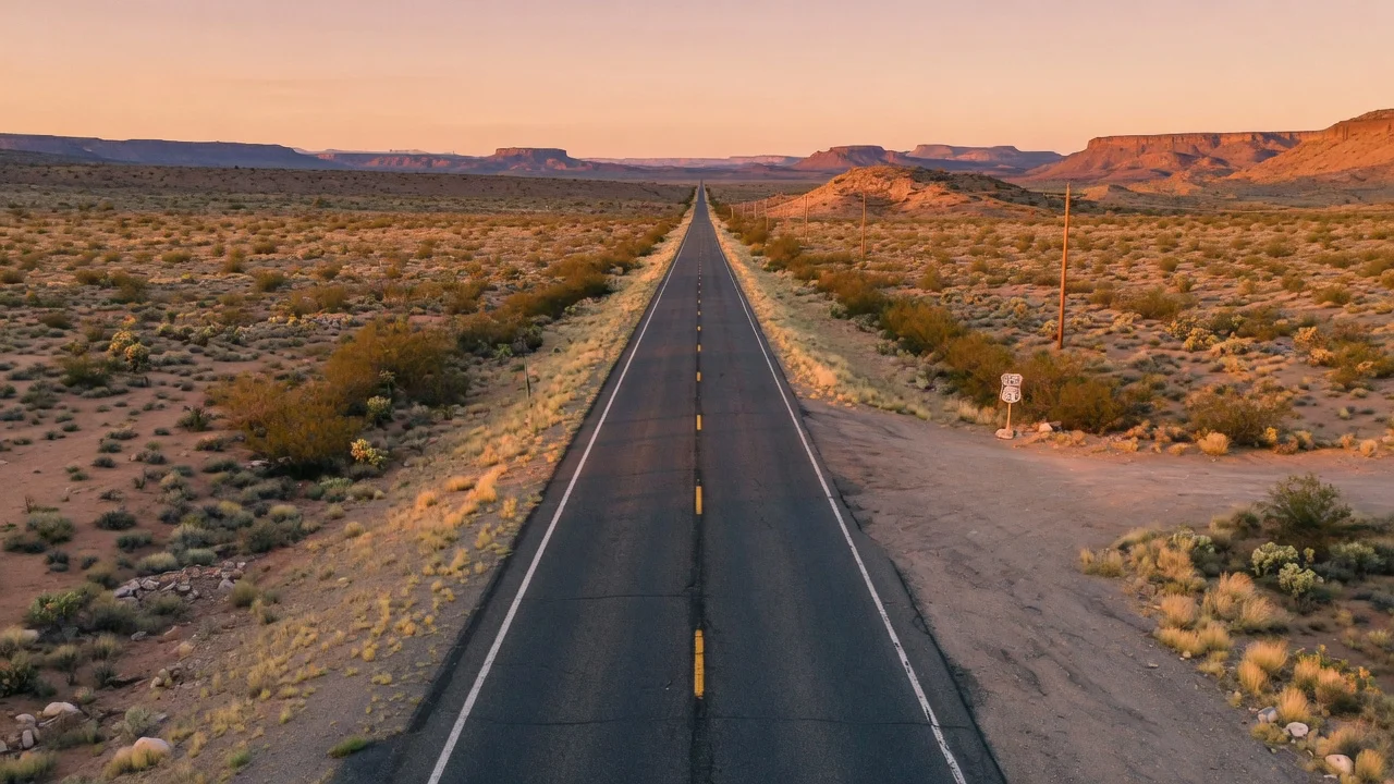
I-40 · the route at a glance
Barstow to Wilmington
2,556mi
Route length
8states
State lines crossed
Apr-Oct (road-trip season, not snowbird)
Best season
Road-trip
Corridor type
Less a snowbird lane than a Great American Road Trip: I-40 shadows historic Route 66 from Barstow to Oklahoma City, threading the highest interstate country of this set (the Arizona high plateau) before dropping through Oklahoma, Arkansas and Tennessee to the Smokies. Best driven for the journey, spring through fall — the western high country carries winter snow, and one eastern segment is under multi-year reconstruction.
Direction & timing
When this drive is at its best
Apr-Oct (road-trip season, not snowbird)
Route 66 road-trip window
The western high plateau (Flagstaff, NM) is a spring-through-fall drive; winter closes it in snow. This is a scenic corridor, so the framing is 'best season,' not migration direction.
Nov-Mar caution
Winter caution (high country)
Off-season the Arizona Divide and NM high plains bring snow closures; the eastern Pigeon River Gorge segment (NC) runs reduced-capacity during reconstruction — check DOTs before a winter run.
The waypoint spine
Where you sleep, and what changes at each state line
Read top to bottom in the direction of travel. Every state line is a fresh set of RV rules, tolls and speed limits — tap a state to open its rentals, campground directory and dated events.
BarstowTerminus
Western terminus at I-15; Mojave start of the Route 66 overlay.
NeedlesGateway
Colorado River crossing; one of the hottest places on the route in summer.
KingmanGateway
Route 66 town; the Vegas-to-Grand-Canyon feeds merge here (US-93).
Williams / FlagstaffMetro
Grand Canyon gateway (Williams → Tusayan); Flagstaff at 7,000 ft — the Arizona Divide summit is just west, the high point of the whole route.
Winslow / HolbrookRegion
Petrified Forest NP; classic Route 66 stops (Standin' on the Corner).
Gallup → AlbuquerqueMetro
New Mexico high plains; Albuquerque is the mid-route hub (Balloon Fiesta each October).
TucumcariRegion
One of the best-preserved Route 66 neon strips.
AmarilloMetro
Texas Panhandle; Cadillac Ranch, and the last of the true Route 66 country.
Oklahoma CityMetro
End of the tight I-40/Route 66 overlay; Route 66 diverges northeast toward Tulsa/Chicago from here.
Fort Smith → Little RockMetro
Ozark foothills; the corridor greens up.
MemphisMetro
Mississippi River crossing into Tennessee.
Nashville → KnoxvilleMetro
Knoxville is the I-75 junction and the Great Smokies gateway (Gatlinburg/Pigeon Forge).
Pigeon River Gorge (TN/NC line)Region
The Smokies crossing — under reconstruction, see hazards.
AshevilleMetro
Blue Ridge Parkway junction; Cherokee/Great Smoky Mountains NP feeder.
Winston-Salem / Greensboro → WilmingtonTerminus
Piedmont run to the Atlantic terminus at Wilmington.
What the road does to your rig
The stretches worth respecting
Arizona Divide, west of Flagstaff (~milepost 190)
I-40 reaches its highest point on the entire route here — just over 7,330 ft — and the Flagstaff high country (7,000 ft) takes heavy winter snow that repeatedly closes long stretches of I-40 between Kingman and Holbrook. Carry chains and check AZDOT before a Nov-Apr crossing.
Flagstaff high country, Arizona (I-40 Kingman↔Holbrook)
Winter storms shut down dozens of miles of I-40 through the northern Arizona mountains most years; AZDOT is the live-closure authority and runs the winter-driving guidance for this segment.
Source: Arizona DOT (AZDOT)
Pigeon River Gorge, I-40 at the North Carolina/Tennessee line
This 12-mi Smokies segment was destroyed by Hurricane Helene (Sept 2024); it reopened but runs reduced-capacity — traffic squeezed to two lanes between narrow concrete barriers during a multi-year, ~$2B NCDOT rebuild, and it re-closed briefly for a June 2025 rockslide. Plan extra time, and check NCDOT before you commit a long rig to it.
Source: Roads & Bridges (reporting NCDOT project status) · Conditions change — confirm live status with the authority above before you go.
Plan each leg
Anchor cities, camps and the deep guides that go with this run
Anchor cities on the route
Drive it one-way
One-way RV rentals on the I-40 corridor
Pick up at one end and drop at the other. The one-way drop fee is set by the host to cover relocating the rig — shown on the listing and at checkout before you book, with no platform-set or hidden charge.
FAQ — driving I-40 in an RV
How long is I-40, and how many states does it cross?
I-40 runs about 2,556 miles from Barstow, California (I-15) to Wilmington, North Carolina, crossing 8 states. Figures are the published route totals (Wikipedia (per FHWA Route Log & Finder List)); drive-leg mileage varies with your stops.
When is the best season to drive I-40 in an RV?
Apr-Oct (road-trip season, not snowbird) is the window most RVers pick. The western high plateau (Flagstaff, NM) is a spring-through-fall drive; winter closes it in snow. This is a scenic corridor, so the framing is 'best season,' not migration direction.
What is the toughest stretch for an RV on I-40?
Arizona Divide, west of Flagstaff (~milepost 190). I-40 reaches its highest point on the entire route here — just over 7,330 ft — and the Flagstaff high country (7,000 ft) takes heavy winter snow that repeatedly closes long stretches of I-40 between Kingman and Holbrook. Carry chains and check AZDOT before a Nov-Apr crossing.
Can I rent an RV one-way along I-40?
Yes — this corridor covers 10 one-way city pairs where you pick up at one end and drop at the other. Each host sets a one-way drop fee to cover relocating the rig; it is shown on the listing and at checkout before you book, with no platform-set or hidden charge.
Nearby & related
Keep planning North Carolina
Sourced costs, campground directories, and the places worth a detour — the next layer of North Carolina trip planning.
- North Carolina RV rental costFuel · camping · tax, sourced
- North Carolina RV-friendly campgroundsHookups, rig limits, booking tips
- RV rental companies in North CarolinaLocal hosts & outfitters, verified
- Campervan & van rentals in North CarolinaVan-life routes, rules & rigs
- National seashoresCoastal RV escapes
- National recreation areasBig-water recreation guides
- Estuary reservesQuiet coastal reserves
- RV lifehacksCamp-smarter field tricks
On sourcing: route lengths, elevations, closures and timing above each carry a linked source — highway-authority and DOT first (Caltrans, AZDOT, NCDOT, FDOT district, NOAA), the RV Industry Association for the snowbird-timing pattern, and encyclopedic route records for termini and length. Conditions on active-construction and weather-dependent segments change; confirm live status with the linked authority before you travel.
Ready to roll?
North Carolina is waiting.
Flat 15% built into the renter price — your base rate stays 100% yours · 48h free cancel. Owners + companies + tour operators all welcome.