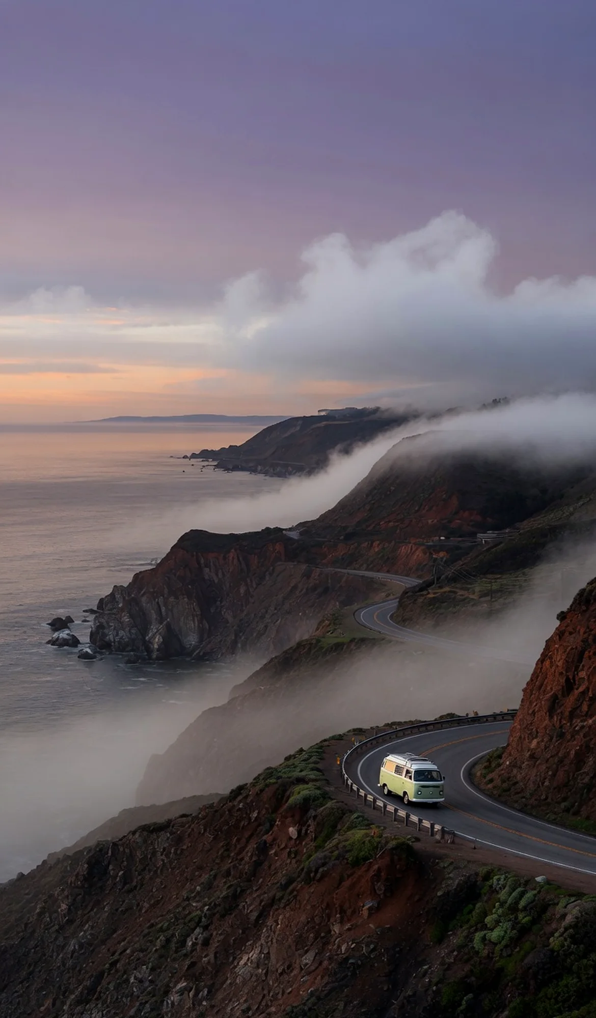
Mojave Trails National Monument protects a staggering 1.6 million acres of Mojave Desert between Barstow and Needles. The landscape stitches together ancient lava flows, shifting sand dunes, stark mountain ranges, and the longest remaining undeveloped stretch of historic Route 66. Shielded from city lights, the monument offers exceptional stargazing and a profound sense of solitude. Visitors come to trace the old highway, wander among lava flows and sand dunes, and experience a desert wilderness that feels unchanged by time.
Best season — Fall through spring, when daytime temperatures are mild and nights are crisp; summer often brings extreme desert heat that limits outdoor activity.
What makes Mojave Trails National Monument special?
Within its 1.6 million acres are ancient lava flows, the longest undeveloped stretch of Route 66, and over 350,000 acres of congressionally designated wilderness — a mosaic of rugged mountains and sand dunes that offers profound solitude and a link to both geologic and human history.
- Spans 1.6 million acres between Barstow and Needles, with ancient lava flows, sand dunes, and rugged mountains.
- Contains the longest undeveloped stretch of Route 66, offering a glimpse of historic highway travel.
- Includes more than 350,000 acres of congressionally designated wilderness for deep solitude.
At a glance
The facts worth checking before you roll out
Conservative, source-minded facts for planning your visit — always worth confirming against current conditions before you travel.
Managing agency
Bureau of Land Management
State
California (Mojave Desert, between Barstow and Needles)
Known for
Mosaic of rugged mountains, ancient lava flows, and sand dunes; contains the longest remaining undeveloped stretch of Route 66
Size
Spans 1.6 million acres, including more than 350,000 acres of congressionally designated wilderness
On the ground
Mojave Trails National Monument encompasses 1.6 million acres of California desert, lying between Barstow and Needles. This BLM-managed landscape is significant for its diverse features—ancient lava flows, shifting sand dunes, and rugged mountains—creating a unique mosaic. The monument also preserves the longest remaining undeveloped section of historic Route 66, offering a connection to travel history.
RV travelers explore Mojave Trails by tracing segments of old Route 66 and venturing among the varied terrain. Opportunities exist to wander through lava flow areas and observe expansive sand dunes. Over 350,000 acres are designated wilderness, appealing to those seeking remote experiences and dark night skies ideal for stargazing.
The most comfortable seasons for RV travel within Mojave Trails are fall through spring. During these months, daytime temperatures remain mild, with cooler nights. Summer presents extreme desert heat that can significantly limit outdoor activities; careful planning is essential if visiting during warmer periods of the year.
Consider establishing a basecamp in the general vicinity to explore Mojave Trails National Monument. From there, RVs can access various points within the monument for day trips. This allows for flexible exploration of the landscape while providing a comfortable return point each evening and access to necessary services.
Official sources
- Bureau of Land Management — Mojave Trails National Monument Bureau of Land Management
Nearby & related
Keep planning California
Sourced costs, campground directories, and the places worth a detour — the next layer of California trip planning.
- California RV rental costFuel · camping · tax, sourced
- California RV-friendly campgroundsHookups, rig limits, booking tips
- RV rental companies in CaliforniaLocal hosts & outfitters, verified
- Campervan & van rentals in CaliforniaVan-life routes, rules & rigs
- California Pacific Coast Highway 1 RVPickRV Wiki · 12 min read
- RV rentals in CaliforniaPickRV Wiki · 6 min read
- National seashoresCoastal RV escapes
- National recreation areasBig-water recreation guides
Planning an RV trip near Mojave Trails National Monument: An RV Traveler's Guide?
Was this guide helpful?