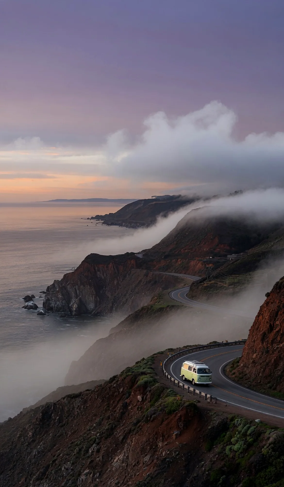
Tucked along California’s remote Lost Coast, the King Range National Conservation Area protects 35 miles of undeveloped coastline where steep mountains plunge directly into the Pacific. Black-sand beaches, lush coastal forests, and hidden coves unfold across this 68,000-acre landscape, shaped by tectonic forces and free of highways and significant development. Backcountry roads thread through forested ridges, offering hikers and drivers access to solitude, while the rugged shoreline invites exploration of tide pools and sea stacks far from the vacation crowds.
Best season — Late spring through early fall offers the driest weather for hiking and camping, though fog can linger in summer; winter brings high rainfall and dangerous surf.
What makes King Range National Conservation Area unique?
Its 35-mile coastal front forms the Lost Coast—a roadless stretch where King Peak rises to 4,088 feet, creating a rugged coastline where mountains meet the sea directly.
- The nation’s first National Conservation Area, designated in 1970.
- Encompasses 68,000 acres along 35 miles of California’s Lost Coast.
- King Peak, the area’s highest point, rises to 4,088 feet.
At a glance
The facts worth checking before you roll out
Conservative, source-minded facts for planning your visit — always worth confirming against current conditions before you travel.
Managing agency
Bureau of Land Management
Location
California's north coast — the 'Lost Coast'
Distinction
The Nation's first National Conservation Area, designated in 1970
Size
68,000 acres along 35 miles of coastline; King Peak rises to 4,088 feet
On the ground
King Range National Conservation Area protects 35 miles of California coastline that no highway crosses, which is why the region is called the Lost Coast. The Bureau of Land Management has stewarded it since 1970 and states plainly that every road leading into the area is narrow, steep and winding. That geography shapes each decision an RV traveler makes here.
The paved approach leaves US-101 at Redway and Garberville, where Briceland Road becomes Shelter Cove Road for roughly 22 miles. The last stretch drops off the ridge in tight hairpins on a long sustained grade, so low gears and sound brakes matter more than power. Long trailers and tall coaches struggle on it; vans and shorter rigs manage with patience.
The northern Mattole side leaves US-101 at Ferndale, passes through Petrolia and ends five miles down Lighthouse Road at the Mattole Recreation Site; BLM allows an hour and a half for those 42 miles. King Peak Road up to Tolkan Campground is unpaved. Main roads normally stay open to passenger cars except during heavy winter storms.
Overnight travel on the Lost Coast Trail requires a BLM wilderness permit year-round through Recreation.gov and a hard-sided bear canister, and beach sections are tide-gated, so carry a tide table. Late spring through early fall runs driest. Confirm road status, campground openings and site lengths with the King Range Project Office, and treat Garberville and Redway as the last dependable fuel and groceries.
Official sources
- Bureau of Land Management — King Range National Conservation Area Bureau of Land Management
Nearby & related
Keep planning California
Sourced costs, campground directories, and the places worth a detour — the next layer of California trip planning.
- California RV rental costFuel · camping · tax, sourced
- California RV-friendly campgroundsHookups, rig limits, booking tips
- RV rental companies in CaliforniaLocal hosts & outfitters, verified
- Campervan & van rentals in CaliforniaVan-life routes, rules & rigs
- RV rentals in CaliforniaPickRV Wiki · 6 min read
- California Pacific Coast Highway 1 RVPickRV Wiki · 12 min read
- Sand dunesDune fields worth the climb
- Fossil sitesDeep-time road stops
Planning an RV trip near King Range National Conservation Area: An RV Traveler's Guide?
Was this guide helpful?