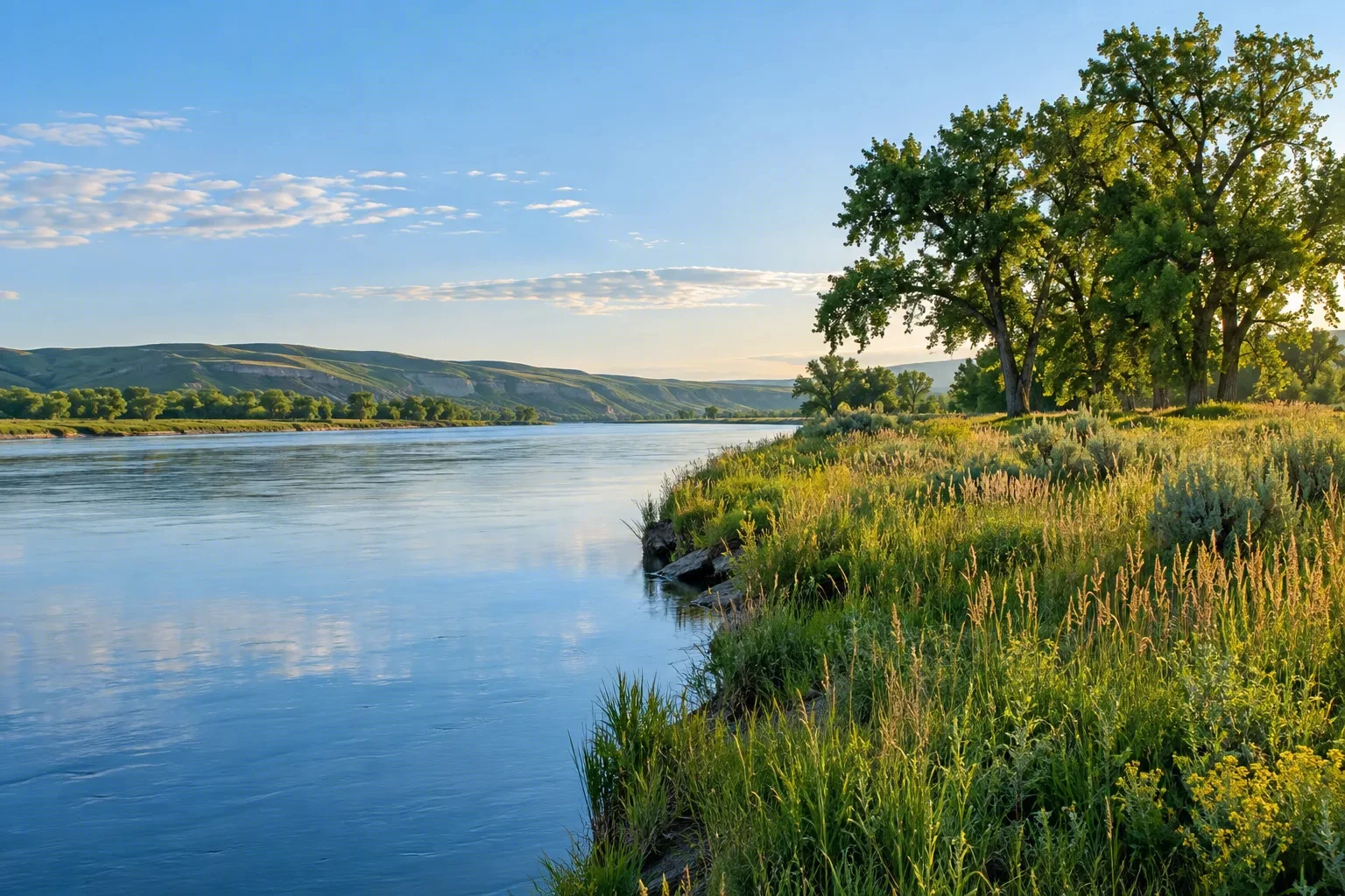
The Tuolumne River, a federally designated Wild & Scenic River, tumbles from California’s Sierra Nevada through granite gorges and meadow-lined valleys. Its 83-mile corridor mixes remote Wild stretches, Scenic canyons, and Recreational reaches, offering dramatic whitewater and tranquil beauty. Originating near Yosemite National Park, the river flows through the Grand Canyon of the Tuolumne, flanked by subalpine meadows and dense forests. RV travelers can find camping in the Stanislaus National Forest or along the river corridor, immersing themselves in the solitude of this protected watershed.
Best season — Spring to early summer for peak whitewater; summer and early fall for warm-weather rafting and scenic visits.
What makes the Tuolumne River a top Wild & Scenic whitewater destination?
Its combination of reliable Sierra snowmelt, challenging rapids through a remote, roadless canyon, and dramatic granite walls creates an exceptional whitewater destination. Protected since 1984 under the Wild & Scenic Rivers Act, the free-flowing Tuolumne offers a pristine wilderness journey for adventurous rafters and kayakers.
- Flows for 83 miles, with 47 miles designated Wild, 23 Scenic, and 13 Recreational.
- Includes the Grand Canyon of the Tuolumne and extensive subalpine meadow and riparian habitat.
- Federally protected on September 28, 1984, and managed by the National Park Service, Bureau of Land Management, and U.S. Forest Service.
At a glance
The facts worth checking before you roll out
Conservative, source-minded facts for planning your visit — always worth confirming against current conditions before you travel.
State
California
Managing agencies
National Park Service (Yosemite), Bureau of Land Management, and U.S. Forest Service (Stanislaus National Forest)
Designated
September 28, 1984
Length / character
83 miles total (13 Recreational, 23 Scenic, 47 Wild); originates in the Sierra Nevada and includes the Grand Canyon of the Tuolumne, with extensive subalpine meadow and riparian habitat
On the ground
The Tuolumne River is an 83-mile Wild & Scenic River flowing from California’s Sierra Nevada. Its corridor includes remote “Wild” sections, scenic canyons, and recreational reaches. This federally protected waterway offers a mix of dramatic whitewater rapids and tranquil stretches, carving through granite gorges and alongside meadow-lined valleys. The river's health is overseen by multiple agencies.
RV travelers to the Tuolumne River corridor often center their visits around experiencing the river itself. Whitewater rafting and kayaking are popular activities along certain portions of its length. Day trips for scenic viewing and accessing the riparian habitat are also common. Camping opportunities exist within the Stanislaus National Forest and along the river, providing access to this protected watershed.
The best time to visit depends on desired activities. Spring through early summer provides peak flows for whitewater enthusiasts. Warm-weather rafting and enjoying the scenery are generally pleasant during the summer and into early fall. The Tuolumne River’s character changes throughout these seasons, reflecting Sierra snowmelt patterns and seasonal variations in water levels.
Consider establishing a basecamp within the Stanislaus National Forest to explore the Tuolumne River corridor. This allows flexibility for day trips to access various points along the 83-mile river. The region offers opportunities to immerse yourself in subalpine meadows and forests while enjoying the solitude of this protected area, with easy access to both recreational and wild stretches.
Official sources
- Official site — Tuolumne River Government source
Nearby & related
Keep planning California
Sourced costs, campground directories, and the places worth a detour — the next layer of California trip planning.
- California RV rental costFuel · camping · tax, sourced
- California RV-friendly campgroundsHookups, rig limits, booking tips
- RV rental companies in CaliforniaLocal hosts & outfitters, verified
- Campervan & van rentals in CaliforniaVan-life routes, rules & rigs
- California Pacific Coast Highway 1 RVPickRV Wiki · 12 min read
- RV rentals in CaliforniaPickRV Wiki · 6 min read
- Ghost townsBoom-and-bust detours
- Caves & cavernsShow-cave trip guides
Planning an RV trip near Tuolumne River: An RV Traveler's Guide?
Was this guide helpful?