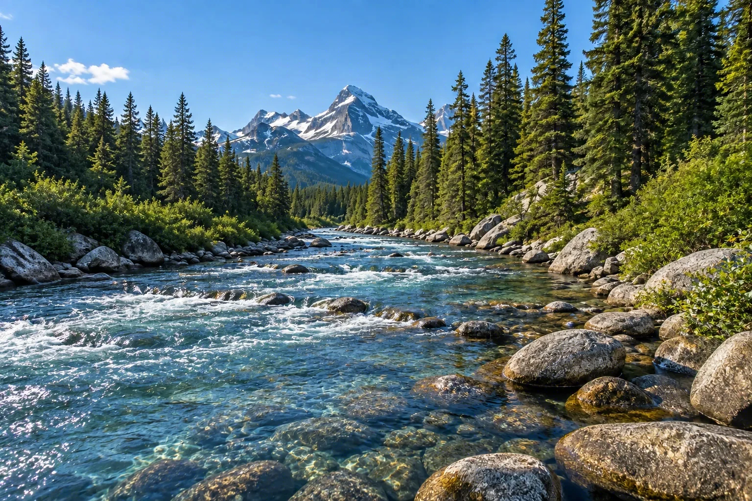
The Kern River is a Wild & Scenic River that plunges out of the southern High Sierra in California, carving granite canyons through the Sequoia National Forest. Its designated segments—the North Fork, South Fork, and the main stem below their confluence—deliver steep, technical whitewater, with the legendary Forks of the Kern attracting expert paddlers on a remote, multiday run. In warmer months the river is a hub for rafting, kayaking, trout fishing, and simply cooling off along rocky banks. RV travelers can set up at shaded riverside campgrounds along the Kern River Highway near Kernville, using them as a base to explore the river’s many faces.
Best season — Spring and early summer for peak whitewater; late summer and early fall for swimming, wading, and quieter camping.
What makes the Kern River a premier whitewater destination?
Steep gradient and sustained, technical drops make the Kern a bucket-list river for skilled paddlers. The Forks of the Kern on the North Fork is a multiday wilderness run through a roadless canyon. The main stem below the confluence packs powerful rapids into a tight granite gorge, while the South Fork offers a quieter, remote float through the Golden Trout Wilderness.
- The North Fork's Forks of the Kern is a remote, demanding stretch of boulder-choked drops
- The main stem below the confluence serves up sustained, splashy rapids in a granite gorge
- Spring snowmelt swells the river, while summer flows lower to reveal gravel bars and swimming holes
At a glance
The facts worth checking before you roll out
Conservative, source-minded facts for planning your visit — always worth confirming against current conditions before you travel.
Managing agencies
Sequoia National Forest (USFS); Sequoia & Kings Canyon National Parks (NPS)
State
California
Designated
November 24, 1987
Designated length
Total 151 miles (Wild 123.1 mi; Recreational 20.9 mi; Scenic 7 mi)
On the ground
The Kern River, a Wild & Scenic River flowing through the Sequoia National Forest in California, is significant for its steep canyons and technical whitewater. Designated segments—North Fork, South Fork, and main stem—offer diverse experiences. The river's character attracts those seeking challenging paddles or simply enjoying the natural beauty of this dynamic waterway.
RV travelers to the Kern River often center their visits around water activities. Paddlers seek out the legendary Forks of the Kern for multiday trips, while others enjoy rafting, kayaking, and trout fishing. Many choose to wade or swim in calmer stretches, making use of the accessible riverbanks along its course. Riverside campgrounds provide convenient access.
Timing a visit to the Kern River depends on preferred activities. Spring snowmelt delivers high flows ideal for experienced whitewater enthusiasts. As summer arrives, water levels decrease, revealing gravel bars and creating opportunities for tubing and wading. Later in the season, into early fall, offers quieter camping alongside cooling waters.
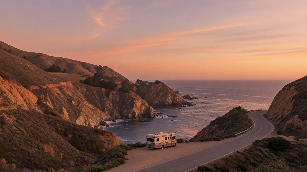
Establishing a basecamp along the Kern River Highway allows RV travelers to explore this area at their own pace. From this central location, access the river’s many faces—from challenging rapids on the North and South Forks to calmer stretches of the main stem. This provides a convenient starting point for daily adventures.
Official sources
- U.S. Forest Service — Kern River USDA Forest Service
Nearby & related
Keep planning California
Sourced costs, campground directories, and the places worth a detour — the next layer of California trip planning.
- California RV rental costFuel · camping · tax, sourced
- California RV-friendly campgroundsHookups, rig limits, booking tips
- RV rental companies in CaliforniaLocal hosts & outfitters, verified
- Campervan & van rentals in CaliforniaVan-life routes, rules & rigs
- RV rentals in CaliforniaPickRV Wiki · 6 min read
- California Pacific Coast Highway 1 RVPickRV Wiki · 12 min read
- Caves & cavernsShow-cave trip guides
- National monumentsProtected-land guides
Planning an RV trip near Kern River: An RV Traveler's Guide?
Was this guide helpful?