Rail trail · trailhead + RV staging
Katy Trail
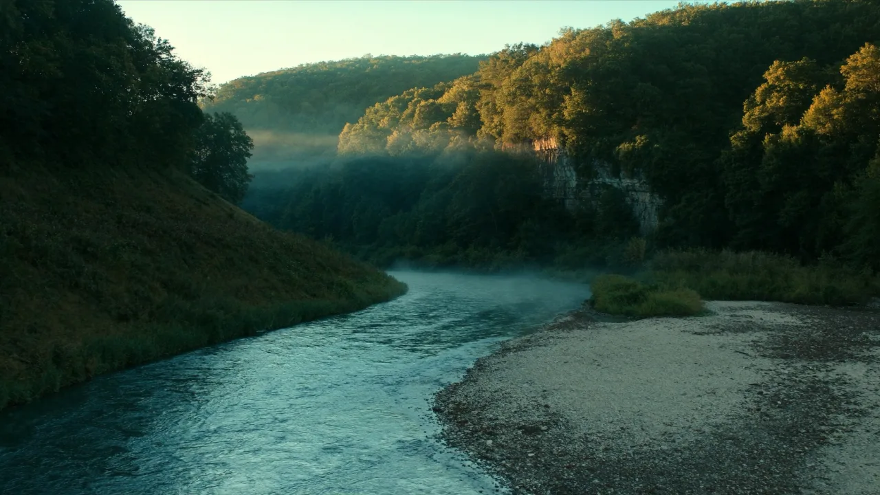
Missouri landscape — scene-setting, not a photograph of the trail.
- Length
- 240 mi
- Elevation gain
- 850 ft
- Difficulty
- Easy
240 mi · longest continuous rail-trail in the US · MKT Railroad right-of-way along the Missouri River. 26 trailheads with RV parking. Graham Cave State Park (35-ft, electric) is the central-section rig basecamp.
Field almanac
- State
- Missouri
- Trail type
- Rail trail
- Sources
- Cited official (.gov / .org)
At a glance
The facts that set the plan
The trail’s own numbers plus the rig-truth at the trailhead — always worth confirming against current agency conditions before you roll out.
Length
240 mi
Elevation gain
850 ft
Difficulty
Easy
Trailhead parking
100 spaces
Oversize rigs OK
Shuttle
Not required
Permit
Walk-up OK
The trail
Walking the Katy Trail
The Katy Trail is the longest continuous rail-trail in the United States at 240 miles — running from Clinton in west Missouri to Machens just east of St. Charles in the St. Louis suburbs, following the abandoned right-of-way of the Missouri-Kansas-Texas (MKT) Railroad along the Missouri River for most of its length. The crushed-limestone surface stays cyclable in all but the worst rain, and 26 designated trailheads punctuate the route with restrooms, water, and information kiosks. RV-accessible parking lots exist at virtually every trailhead. Missouri State Parks operates the trail but doesn't run camping infrastructure along the corridor — most cyclists stage at adjacent state parks (Graham Cave for the central section, Babler near St. Louis end). The trail's signature engineering is the limestone-bluff section between Rocheport and McBaine where the Missouri River carved through the dolomite — the trail tunnels through bluff outcroppings and runs at the foot of 200-ft cliffs for 20 continuous miles.
Where the rig goes
Stage the rig, then walk in
The trail is administered by Missouri State Parks (Katy Trail State Park). On a trail like this the rig rarely reaches the trailhead itself — the planning fact is where it waits while you walk.
The staging trailhead holds roughly 100 vehicles, with room for oversize rigs.
Closest RV-friendly basecamp: Graham Cave State Park (35-ft rig cap, electric, near mid-point).
Official sources
- Katy trail state park Trail conservancy (.org)
- Katy trail trailheads Trail conservancy (.org)
- Katy Trail Map 2022.pdf Trail conservancy (.org)
Missouri rules · last verified 2026-05-10
- State rental tax
- 7% · not collected by PickRV
- Min driver age
- 21+ std · 25+ Class A
- Gravel roads
- Allowed — disclosure required
- Generator quiet
- 22:00-07:00
Nearby & related
Keep planning Missouri
Sourced costs, campground directories, and the places worth a detour — the next layer of Missouri trip planning.
- Missouri RV rental costFuel · camping · tax, sourced
- Missouri RV-friendly campgroundsHookups, rig limits, booking tips
- Campervan & van rentals in MissouriVan-life routes, rules & rigs
- Caves & cavernsShow-cave trip guides
- National monumentsProtected-land guides
- Scenic landmarksBucket-list overlooks
- RV lifehacksCamp-smarter field tricks
Planning an RV trip to Missouri?
Was this guide helpful?