Day hike · trailhead + RV staging
Half Dome
16 mi · 4,800 ft · 300 daily permits via March lottery for the 400-ft cable pitch. Cables up last weekend of May through second weekend of October. Rig at Upper Pines · valley shuttle to Happy Isles.
- State
- California
- Trail type
- Day hike
- Sources
- Cited official (.gov / .org)
At a glance
The facts that set the plan
The trail’s own numbers plus the rig-truth at the trailhead — always worth confirming against current agency conditions before you roll out.
Length
16 mi
Elevation gain
4,800 ft
Difficulty
Very strenuous
Trailhead parking
0 spaces
Car-only lot
Shuttle
Required
Permit
Required
The trail
Walking the Half Dome
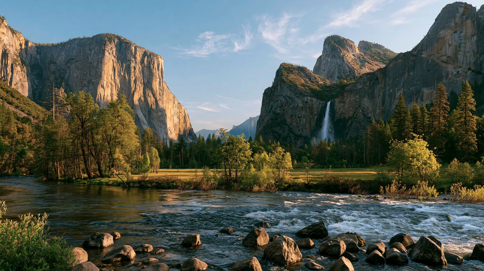
The Half Dome cables open the last weekend of May (snow permitting) and come down the second weekend of October — the 400-foot near-vertical final pitch is hikeable only inside that window and only with one of 300 daily permits drawn via a recreation.gov lottery filed in March. Two-thirds of those permits go to day hikers; the rest reserve to backpackers who can also use the Half Dome trail. The trail starts at Happy Isles in Yosemite Valley (no direct vehicle access — rigs park at Upper Pines Campground and walk or board the valley shuttle) and climbs 4,800 feet in 8 miles via Vernal Fall, Nevada Fall, and the Little Yosemite Valley junction. The cables are the difference between a strenuous hike and a high-consequence scramble; over 290 rescues have happened on the cable section since the cables were installed in 1919. NPS prohibits attempting them in wet conditions.
Where the rig goes
Stage the rig, then walk in
The trail is administered by Yosemite National Park. On a trail like this the rig rarely reaches the trailhead itself — the planning fact is where it waits while you walk.
The staging trailhead holds roughly 0 vehicles, and the lot is car-only — leave the rig at the nearest basecamp and arrive early. In season a shuttle is the practical way to the trailhead. Secure the permit or lottery slot before you build the trip around it.
Closest RV-friendly basecamp: Upper Pines Campground (40-ft rig cap, year-round, dry).
Official sources
- www.nps.gov/yose/planyourvisit/halfdome.htm National Park Service
- www.recreation.gov/permits/234652 Recreation.gov
- www.nps.gov/yose/planyourvisit/halfdomecables.htm National Park Service
California rules · last verified 2026-05-10
- Rental tax
- 9.75%
- Min driver age
- 21+ std · 25+ Class A
- Gravel roads
- Permit required
- Generator quiet
- 22:00-06:00
Nearby & related
Keep planning California
Sourced costs, campground directories, and the places worth a detour — the next layer of California trip planning.
- California RV rental costFuel · camping · tax, sourced
- California RV-friendly campgroundsHookups, rig limits, booking tips
- RV rental companies in CaliforniaLocal hosts & outfitters, verified
- Campervan & van rentals in CaliforniaVan-life routes, rules & rigs
- California Pacific Coast Highway 1 RVPickRV Wiki · 12 min read
- RV rentals in CaliforniaPickRV Wiki · 6 min read
- LighthousesCoast-road waypoints
- Sand dunesDune fields worth the climb
Planning an RV trip to California?
Was this guide helpful?