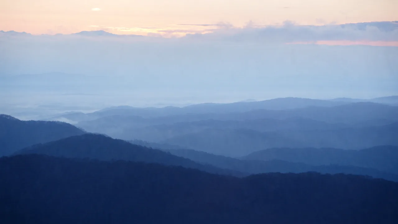
The Blue Ridge Parkway winds for roughly 469 miles along the crest of the southern Appalachians through Virginia and North Carolina, linking Shenandoah National Park with Great Smoky Mountains National Park. It is a slow, scenic drive of overlooks, ridgelines, and mountain meadows, with NPS campgrounds spaced along the way and some of the East's best autumn color.
Best season — Fall (foliage) and late spring
Can you drive the Blue Ridge Parkway in an RV?
Yes — many RV travelers drive the Parkway, but it has tunnels with height limits (more in the NC section), low speeds, and weather closures, so check tunnel clearances and road status first. NPS campgrounds are spaced along the route.
- ~469 miles of scenic ridge driving
- Tunnels with height limits (check clearances)
- NPS campgrounds + peak fall color
At a glance
The facts worth checking before you roll out
Conservative, source-minded facts for planning your visit — always worth confirming against current conditions before you travel.
States
North Carolina & Virginia
Length
~469 miles
Connects
Shenandoah ↔ Great Smoky Mountains
On the ground
The drive is the point — frequent overlooks, low speed limits, and no commercial traffic make it a relaxed, scenic route rather than a fast through-road.
Sections close seasonally for weather and maintenance, and the North Carolina end has tunnels with posted height limits, so larger rigs should check clearances and current closures.
Confirm road status, tunnel clearances, and campground openings on the National Park Service site before you plan your section of the drive.
Official sources
- National Park Service — Blue Ridge Parkway National Park Service
Nearby & related
Keep planning North Carolina
Sourced costs, campground directories, and the places worth a detour — the next layer of North Carolina trip planning.
- North Carolina RV rental costFuel · camping · tax, sourced
- North Carolina RV-friendly campgroundsHookups, rig limits, booking tips
- Campervan & van rentals in North CarolinaVan-life routes, rules & rigs
- Wild-horse rangesMustang-range guides
- BLM landsDispersed-camping country
- Historic sitesHistory worth the detour
- Deep trip guidesLong-form seasonal playbooks
Planning an RV trip near The Blue Ridge Parkway: An RV Traveler's Guide?
Was this guide helpful?