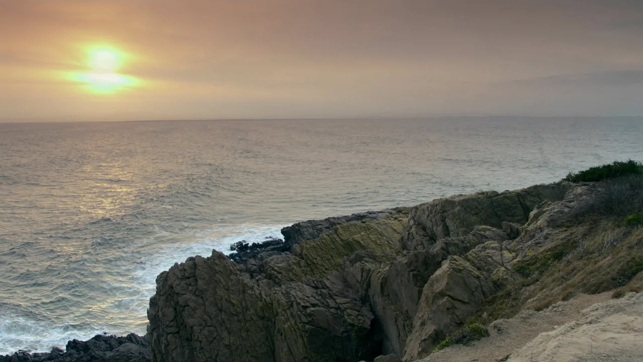
Narragansett Bay National Estuarine Research Reserve occupies Prudence Island and its neighbors in the middle of Narragansett Bay, protecting salt marsh, eelgrass beds, rocky intertidal shore, pine barren, deciduous forest and coastal meadow twelve miles north of Newport. It is also the rare protected place an RV cannot practically reach. The reserve is accessible only by ferry from Bristol or by private boat, and that ferry is sized for cars. Planning a visit here begins with deciding where the rig stays behind.
Best season — Late spring through fall, when the ferry runs its fullest schedule and migrating birds move through the marshes; confirm the current timetable before planning a crossing.
What should RV travelers know about Narragansett Bay NERR?
That the rig stays on the mainland. The reserve sits on Prudence Island, reached only by ferry from Bristol or by private boat, and the ferry’s standard vehicle allowance is twenty feet and one ton; anything larger is handled as an oversize booking with limited deck space and no guarantee of passage. Camping is prohibited on reserve property, so plan a day trip — park in Bristol, walk or bike aboard, and build the day around the timetable.
- No bridge reaches Prudence Island; access is by ferry from Bristol’s Church Street Wharf or by private boat.
- The ferry’s standard vehicle size is twenty feet and one ton — larger vehicles and anything towing need an advance oversize booking.
- Camping is prohibited on reserve property and there is no island lodging, so visits are day trips.
At a glance
The facts worth checking before you roll out
Conservative, source-minded facts for planning your visit — always worth confirming against current conditions before you travel.
Managing agency
NOAA National Estuarine Research Reserve System; managed by the Rhode Island Department of Environmental Management
State/Region
Rhode Island; three islands (Prudence, Patience, Hope) in central Narragansett Bay, 12 miles north of Newport
Defining characteristic
Habitats include salt marsh, eelgrass beds, rocky intertidal zone, pine barren, deciduous forest and coastal meadow
Designated / Acreage
Designated 1980; protects 4,332 acres
On the ground
Narragansett Bay National Estuarine Research Reserve protects the heart of the bay from Prudence Island, twelve miles north of Newport. Salt marsh, eelgrass beds, rocky intertidal shore, pine barren, deciduous forest and coastal meadow sit within sight of one of the most developed shorelines in the country. It has belonged to NOAA’s reserve system since 1980.
There is no bridge. The ferry runs from Church Street Wharf on Thames Street in Bristol, and its standard vehicle allowance is twenty feet and one ton — the size of a car, a minivan or a pickup. Anything longer, heavier or towing must be arranged as an oversize booking well ahead, against limited deck space. An RV is not a realistic passenger.
So leave it behind, deliberately. Keep the rig at whichever mainland campground you booked — Rhode Island’s state campgrounds are all a drive from Bristol — and come to the wharf in a small vehicle or on a bicycle. The free daytime municipal lot across Thames Street is sized for cars, and nearby overnight street parking carries posted restrictions.
On the island the Lab and Learning Center sits about four miles south of the Homestead landing, so a bicycle earns its passage. Trails, birding, fishing and clamming fill a day, and a general store near the landing is the only food. Camping is prohibited on reserve property. Confirm the ferry timetable and reserve hours before committing to a crossing.
Official sources
- NOAA — Narragansett Bay NERR Government source
Nearby & related
Keep planning Rhode Island
Sourced costs, campground directories, and the places worth a detour — the next layer of Rhode Island trip planning.
Planning an RV trip near Narragansett Bay NERR: An RV Traveler's Guide?
Was this guide helpful?