RV travel guide
Pocahontas County
County seat Marlinton, 940 sq mi across West Virginia. Everything an RV traveler should read before rolling in — where you can boondock, the roads worth the detour, and the local rule that actually matters.
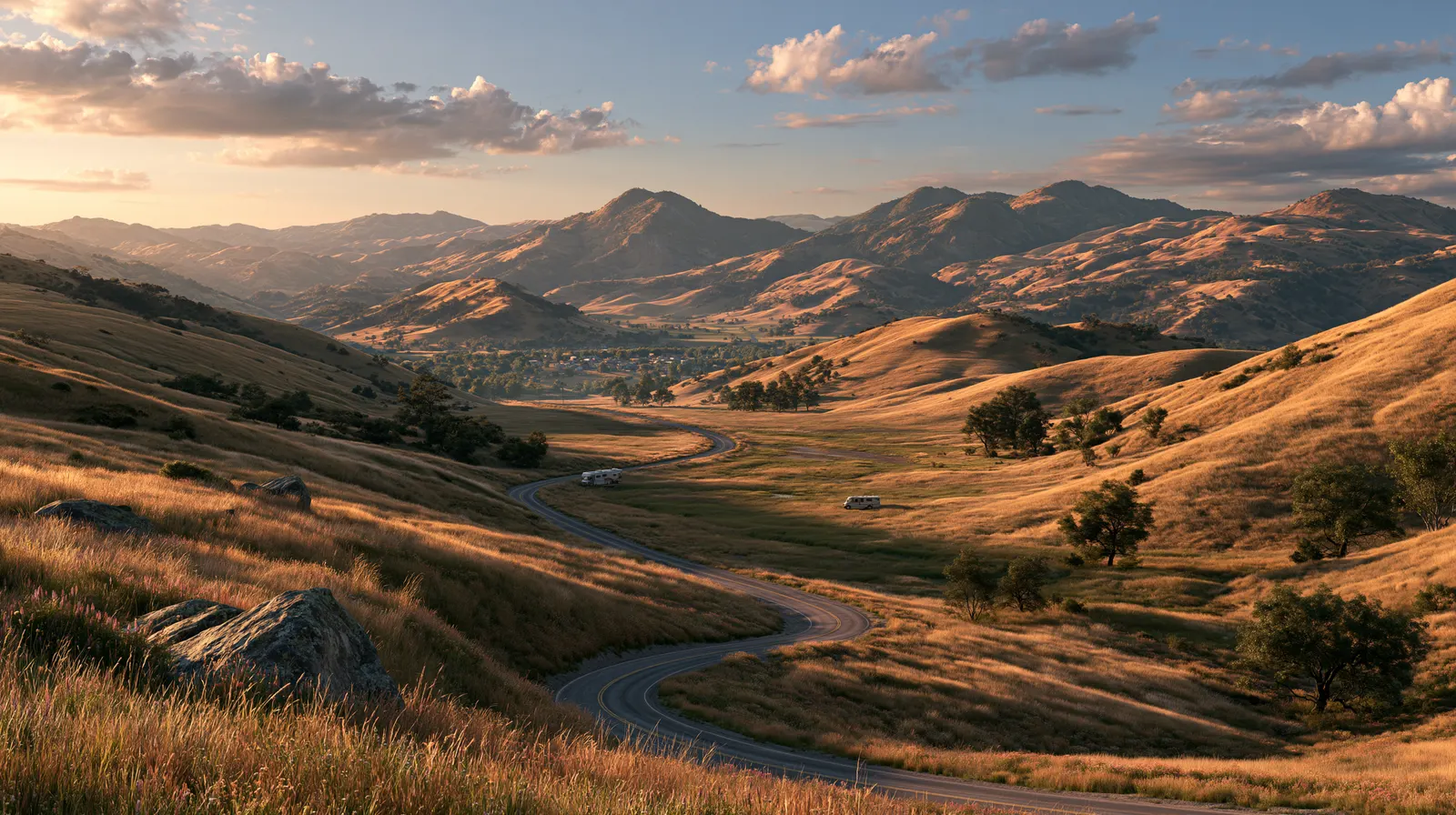
The county in brief
A traveler's read on Pocahontas County
Federal law (47 CFR Part 1, FCC Order 58-1112 of 1958) and overlapping West Virginia statute combine to mandate the National Radio Quiet Zone here — a 13,000-sq-mi cone of radio-frequency restrictions imposed to protect the 100-meter Robert C. Byrd Green Bank Telescope, the world's largest fully-steerable radio telescope, from terrestrial interference. The 10-mile inner exclusion ring around Green Bank prohibits WiFi, Bluetooth, microwave ovens, cellular phones, and most consumer electronics; a permitted-equipment list is published by the National Radio Astronomy Observatory and enforced by NRAO field technicians using rolling RF-sniffer surveys. Travelers should pre-load offline maps and expect zero cellular service across most county roads.
Eight major Appalachian rivers — the Cherry, Cranberry, Elk, Gauley, Greenbrier, Tygart Valley, Williams, and the upper Potomac's North Fork — all rise from springs inside the county, making Pocahontas the hydrological 'birthplace of rivers' for the central Mid-Atlantic per West Virginia DNR's headwaters atlas. The Highland Scenic Highway (WV-150 / Forest Highway 14) climbs 43 paved miles across the Monongahela National Forest at elevations exceeding 4,500 ft for stretches; it closes by snowfall, typically mid-November. Watoga State Park (West Virginia's largest at 10,100 acres) accepts rigs up to 40 ft on full hookups across 88 sites and 33 cabin loops; Seneca State Forest permits dispersed camping on most forest roads under WVDNR 14-day stay rules. Snowshoe Mountain Resort at 4,848 ft is the highest ski-resort summit in the Mid-Atlantic; the resort enforces seasonal vehicle restrictions on summit roads after snowmaking begins.
RV travel intelligence
Read the land before you roll in
The three things that shape an RV trip here — where you can boondock, the roads worth the detour, and the local rule that trips travelers up.
Dispersed camping
high
High — most public land permits dispersed
Scenic drives & state byways
Highland Scenic Highway WV-150 · US-219 Mountain State
Ordinance note for RV travelers
Monongahela NF permits 14-day dispersed; Snowshoe Mountain Resort enforces seasonal vehicle restrictions on summit roads.
Sourced & cited
Every fact traces to an official source
Population and land area from the US Census; ordinances and park adjacency from county.gov, the National Park Service, and the US Forest Service.
More for Pocahontas County travelers
Go deeper around Pocahontas County
5 cross-linked peers across PickRV's places catalog — siblings, parks, public land, cities, and the parent state hub.
In the same state
Other West Virginia counties in our catalog
State parks and forests
Public land near Pocahontas County
Parent state hub
West Virginia on PickRV
Sourced from the PickRV places catalog · live availability disclosed on every landing.
Nearby & related
Keep planning West Virginia
Sourced costs, campground directories, and the places worth a detour — the next layer of West Virginia trip planning.
- West Virginia RV rental costFuel · camping · tax, sourced
- West Virginia RV-friendly campgroundsHookups, rig limits, booking tips
- RV rental companies in West VirginiaLocal hosts & outfitters, verified
- BLM landsDispersed-camping country
- Historic sitesHistory worth the detour
- Wild & scenic riversFree-flowing river trips
- Deep trip guidesLong-form seasonal playbooks
West Virginia rules · last verified 2026-05-10
- Rental tax
- 7.00%
- Min driver age
- 21+ std · 25+ Class A
- Gravel roads
- Allowed — disclosure required
- Generator quiet
- 22:00-07:00
Plan an RV trip through Pocahontas County
Browse verified rigs, see the all-in price up front, and book in minutes — with real people ready to help every mile of the way.