US-101 · the route at a glance
Los Angeles to Tumwater
1,540mi
Route length
3states
State lines crossed
May-Oct
Best season
Road-trip
Corridor type
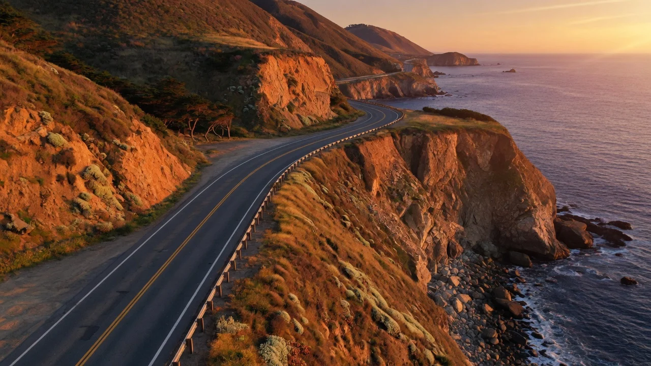
NOT a snowbird lane — an intentionally slow Pacific road-trip corridor. US-101 runs the coast north through the California redwoods, the Oregon shore (every mile of which is public) and the Olympic Peninsula. It is best driven May-October: winter brings coastal storms and the chronic Last Chance Grade landslide zone in far-northern California. Honest note: the famous Big Sur cliffs are CA-1 (PCH), not US-101 — US-101 runs inland through the Salinas Valley there.
Source: Wikipedia (U.S. Route 101)
Direction & timing
When this drive is at its best
May-Oct
Coastal road-trip season
Northbound in the drier half of the year is the classic run — redwoods, then the Oregon coast, then the Olympic rainforest. Coastal fog is common even in summer; mornings burn off by midday.
Nov-Apr caution
Winter storm caution
Off-season Pacific storms, high winds on the bridges, and landslide risk (Last Chance Grade) make the far-northern-CA and Oregon coast a check-before-you-go drive, not a casual one.
The waypoint spine
Where you sleep, and what changes at each state line
Read top to bottom in the direction of travel. Every state line is a fresh set of RV rules, tolls and speed limits — tap a state to open its rentals, campground directory and dated events.
Los AngelesTerminus
Southern terminus; LA-basin freeway before the coast opens up.
Santa Barbara / San Luis ObispoMetro
Central Coast wine country; the coastal-vs-inland (US-101 vs CA-1) choice starts here.
Salinas Valley (Monterey inland)Region
US-101 runs INLAND here; the Big Sur cliffs are CA-1, a separate coastal road — honest routing note.
San Francisco BayMetro
Golden Gate crossing; RV height/lane notes on the bridge approaches.
Santa Rosa / UkiahMetro
Redwood Highway begins; the corridor turns fully coastal and forested north of here.
Eureka / Humboldt RedwoodsRegion
Avenue of the Giants; tallest trees on Earth. RV length limits on the old-growth spurs.
Last Chance Grade / Crescent CityRegion
Redwood National & State Parks; the landslide-prone grade south of Crescent City — see hazards.
Brookings → Coos Bay → NewportRegion
Oregon coast — every mile is public land; dense state-park campground chain along US-101.
AstoriaGateway
Columbia River mouth; the long Astoria-Megler Bridge crosses into Washington.
Aberdeen / Olympic PeninsulaRegion
US-101 loops the Olympic Peninsula — rainforest, alpine and Pacific surf around Olympic NP.
Tumwater / OlympiaTerminus
Northern terminus near Olympia; I-5 handoff.
What the road does to your rig
The stretches worth respecting
Last Chance Grade, US-101, Del Norte County, California (north of Klamath, south of Crescent City)
A 3-mi stretch built on chronically shifting ground through Redwood National & State Parks — prone to landslides and full closures (a complete closure hit in Feb 2024). Caltrans is planning a ~$2.7B bypass tunnel into the late 2030s; until then, check Caltrans QuickMap before committing, as a closure forces a very long inland detour.
Coastal bridges & narrow old-growth spurs (CA redwoods, OR coast)
Not mountain elevation but width/height: the historic Oregon-coast bridges and the old-growth redwood park spurs carry RV length and height limits and high crosswinds; big Class A rigs should stay on the main US-101 lanes and skip the narrowest scenic spurs.
Pacific coast, entire route (worst Nov-Apr)
Winter Pacific storms bring high winds, heavy rain and reduced visibility on an exposed coastal two-lane; summer coastal fog is routine. This is a fair-weather road-trip corridor, not a reliable winter through-route.
Source: Wikipedia (U.S. Route 101)
Plan each leg
Anchor cities, camps and the deep guides that go with this run
Anchor cities on the route
Drive it one-way
One-way RV rentals on the US-101 corridor
Pick up at one end and drop at the other. The one-way drop fee is set by the host to cover relocating the rig — shown on the listing and at checkout before you book, with no platform-set or hidden charge.
See all 52 one-way corridors in the hubFAQ — driving US-101 in an RV
How long is US-101, and how many states does it cross?
US-101 runs about 1,540 miles from Los Angeles, California to Tumwater, Washington (near Olympia), crossing 3 states. Figures are the published route totals (Wikipedia (U.S. Route 101)); drive-leg mileage varies with your stops.
When is the best season to drive US-101 in an RV?
Nov-Apr caution is the window most RVers pick. Off-season Pacific storms, high winds on the bridges, and landslide risk (Last Chance Grade) make the far-northern-CA and Oregon coast a check-before-you-go drive, not a casual one.
What is the toughest stretch for an RV on US-101?
Last Chance Grade, US-101, Del Norte County, California (north of Klamath, south of Crescent City). A 3-mi stretch built on chronically shifting ground through Redwood National & State Parks — prone to landslides and full closures (a complete closure hit in Feb 2024). Caltrans is planning a ~$2.7B bypass tunnel into the late 2030s; until then, check Caltrans QuickMap before committing, as a closure forces a very long inland detour.
Can I rent an RV one-way along US-101?
Yes — this corridor covers 1 one-way city pairs where you pick up at one end and drop at the other. Each host sets a one-way drop fee to cover relocating the rig; it is shown on the listing and at checkout before you book, with no platform-set or hidden charge.
Nearby & related
Keep planning Washington
Sourced costs, campground directories, and the places worth a detour — the next layer of Washington trip planning.
- Washington RV rental costFuel · camping · tax, sourced
- Washington RV-friendly campgroundsHookups, rig limits, booking tips
- RV rental companies in WashingtonLocal hosts & outfitters, verified
- Campervan & van rentals in WashingtonVan-life routes, rules & rigs
- Sand dunesDune fields worth the climb
- Fossil sitesDeep-time road stops
- Petroglyph sitesAncient rock-art stops
- RV driving & licensingLicenses, lanes & low bridges
On sourcing: route lengths, elevations, closures and timing above each carry a linked source — highway-authority and DOT first (Caltrans, AZDOT, NCDOT, FDOT district, NOAA), the RV Industry Association for the snowbird-timing pattern, and encyclopedic route records for termini and length. Conditions on active-construction and weather-dependent segments change; confirm live status with the linked authority before you travel.
Ready to roll?
Washington is waiting.
Flat 15% built into the renter price — your base rate stays 100% yours · 48h free cancel. Owners + companies + tour operators all welcome.