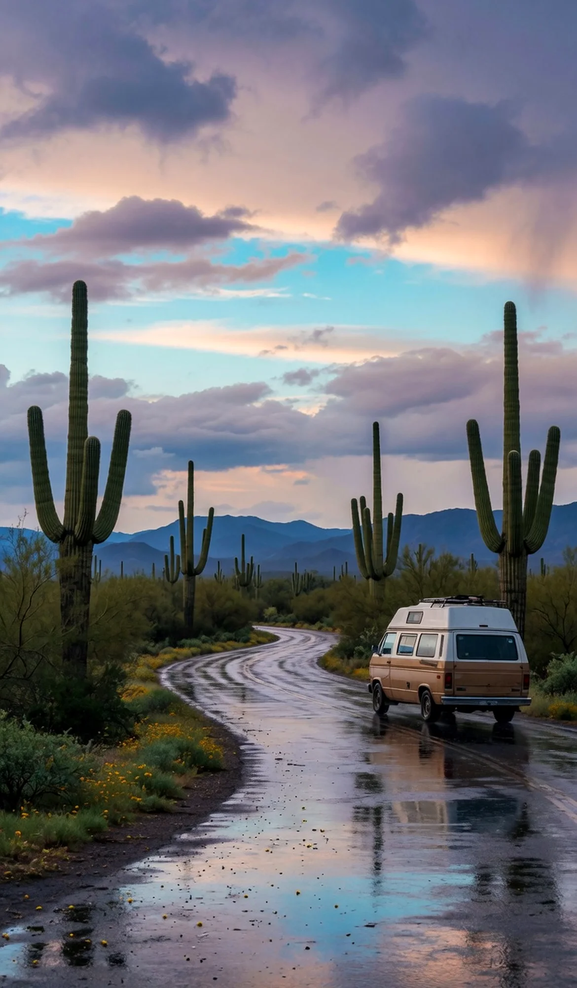
Rolling desert grassland stretches toward distant mountains at this BLM conservation area in Arizona. The year-round flow of Cienega Creek nourishes one of the most significant riparian zones in southern Arizona, a rare vegetation community. The historic Empire Ranch headquarters, dating to the 1870s, anchors the working cattle ranching heritage. A network of unpaved roads invites unhurried exploration under wide-open skies. Check the official site for current conditions and camping options.
Best season — Fall through spring, when temperatures are mild and grasslands are green after monsoon rains; summer can be hot.
What draws RV travelers to Las Cienegas NCA?
A rare desert creek sustains a vibrant riparian corridor, while the 1870s Empire Ranch stands amid wide grasslands. The quiet, unpaved roads and expansive skies create a slow-paced haven for exploring southern Arizona’s ranching heritage and natural beauty.
- Cienega Creek flows year-round, nurturing one of southern Arizona’s rare riparian zones.
- The historic Empire Ranch headquarters dates to the 1870s and remains a centerpiece.
- Working cattle ranching continues, weaving living heritage into the landscape.
At a glance
The facts worth checking before you roll out
Conservative, source-minded facts for planning your visit — always worth confirming against current conditions before you travel.
Managing agency
Bureau of Land Management, Tucson Field Office
State
Arizona
Defining characteristic
Year-round flow of Cienega Creek supports one of the most significant riparian zones in southern Arizona, a rare vegetation community
Historic feature
Includes the historic Empire Ranch headquarters dating to the 1870s and working cattle ranching
On the ground
Las Cienegas National Conservation Area protects a rare desert grassland and the vital, year-round flow of Cienega Creek. This sustains a significant riparian zone—a unique plant community in southern Arizona. The area also preserves working cattle ranching traditions, offering a glimpse into the region’s agricultural heritage.
RV travelers explore this conservation area by utilizing the network of unpaved roads for slow-paced discovery. Visitors often focus on the historic Empire Ranch headquarters, dating to the 1870s, and observing ongoing ranching activities. The landscape invites quiet observation of the natural environment.
The best time to visit is fall through spring when temperatures are mild and the grasslands benefit from seasonal rains. Summer months can bring intense heat. Always check current conditions and road accessibility on the official site before planning your exploration within this Arizona BLM area.
Consider establishing a basecamp in a nearby location while exploring Las Cienegas. This allows for day trips to access different parts of the conservation area at a relaxed pace. Planning allows time to appreciate both the natural landscape and the historic ranching aspects.
Official sources
- Bureau of Land Management — Las Cienegas National Conservation Area Bureau of Land Management
Nearby & related
Keep planning Arizona
Sourced costs, campground directories, and the places worth a detour — the next layer of Arizona trip planning.
- Arizona RV rental costFuel · camping · tax, sourced
- Arizona RV-friendly campgroundsHookups, rig limits, booking tips
- Campervan & van rentals in ArizonaVan-life routes, rules & rigs
- RV rentals in ArizonaPickRV Wiki · 6 min read
- Fossil sitesDeep-time road stops
- Petroglyph sitesAncient rock-art stops
- Wild-horse rangesMustang-range guides
- RV lifehacksCamp-smarter field tricks
Planning an RV trip near Las Cienegas National Conservation Area: An RV Traveler's Guide?
Was this guide helpful?