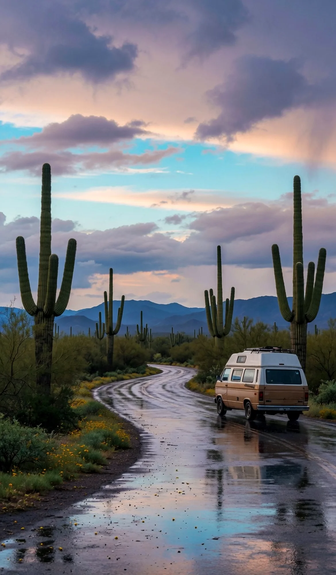
Rising from the high desert of northern Arizona, Vermilion Cliffs National Monument is a vast and wildly sculpted landscape of towering sandstone cliffs, deep slot canyons, and swirling rock formations. Its Paria Plateau holds some of the most photogenic geology on Earth, including the iconic Wave, a sinuous expanse of colored sandstone that draws permit holders from around the globe. The monument's remote character, dramatic light, and solitude make it a powerful draw for RV travelers seeking an off-grid wilderness experience — one that rewards patience and a spirit of exploration.
Best season — Spring and fall (March–May, September–November) provide the most comfortable temperatures for hiking and photography; summer brings extreme heat, and winter can be cold but often snow-free on main access roads.
What makes Vermilion Cliffs National Monument so iconic?
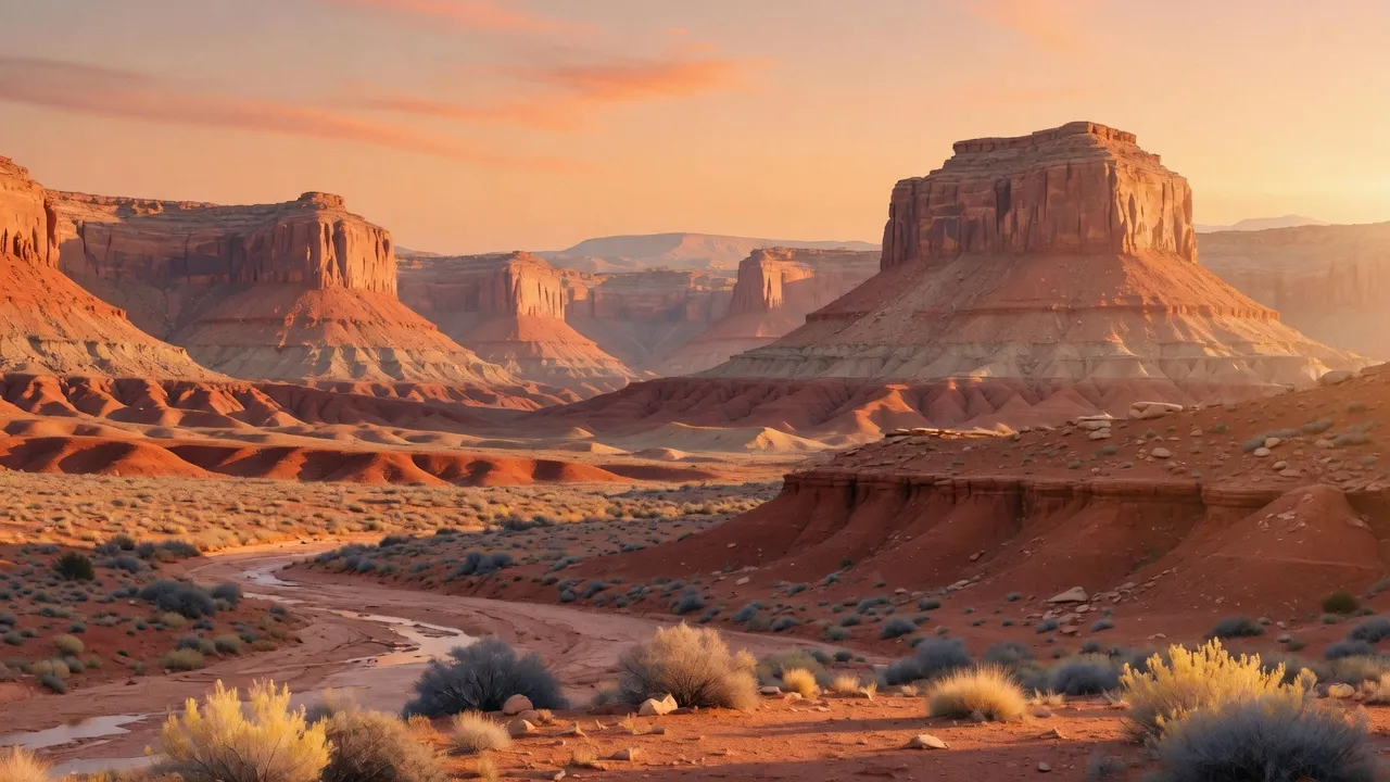
The monument's surreal geology — swirling sandstone bands, towering cliffs, and hidden slot canyons — creates a landscape unlike any other. The Wave's undulating stripes of red, pink, and gold are the star attraction, but the entire Paria Plateau feels like a vast open-air gallery of wind-sculpted rock. It's a place where light, shadow, and color change by the hour.
- The Wave (Coyote Buttes North) requires an advance or daily lottery permit.
- Paria Canyon offers a world-class multi-day slot-canyon trek.
- Coyote Buttes South and White Pocket showcase equally surreal formations with lighter permit demand.
At a glance
The facts worth checking before you roll out
Conservative, source-minded facts for planning your visit — always worth confirming against current conditions before you travel.
Managing agency
Bureau of Land Management (BLM)
State
Arizona
Established
November 9, 2000
Size
280,000 acres
On the ground
Vermilion Cliffs National Monument protects a vast landscape of towering sandstone formations within northern Arizona. Managed by the Bureau of Land Management, this area safeguards the Paria Plateau and Coyote Buttes. Its dramatic light and remote character attract travelers seeking wilderness solitude. The monument's geology is considered exceptionally photogenic.
RV travelers to Vermilion Cliffs focus on exploring areas like White Pocket and Paria Canyon. While permits are required for access to The Wave, many scenic options exist without one. Wildlife viewing opportunities include California condors and desert bighorn sheep. This remote BLM monument offers a raw adventure away from developed facilities.
The most comfortable seasons for RV travel within Vermilion Cliffs are spring and fall – roughly March through May, and September through November. These months offer moderate temperatures ideal for hiking and photography. Summer brings intense heat, while winter can be cold but generally sees clear access on primary roads.
Consider establishing a basecamp in the broader region to explore Vermilion Cliffs National Monument. From there, day trips allow access to various points of interest within the monument boundaries. Planning ahead is crucial due to its remote location and limited services; self-sufficiency is key for a successful visit.
Official sources
- Bureau of Land Management — Vermilion Cliffs National Monument Bureau of Land Management
Nearby & related
Keep planning Arizona
Sourced costs, campground directories, and the places worth a detour — the next layer of Arizona trip planning.
- Arizona RV rental costFuel · camping · tax, sourced
- Arizona RV-friendly campgroundsHookups, rig limits, booking tips
- Campervan & van rentals in ArizonaVan-life routes, rules & rigs
- RV rentals in ArizonaPickRV Wiki · 6 min read
- Lakes & reservoirsWaterside camps & guides
- Hot springsSoak-worthy road stops
- Ghost townsBoom-and-bust detours
- Deep trip guidesLong-form seasonal playbooks
Planning an RV trip near Vermilion Cliffs National Monument: An RV Traveler's Guide?
Was this guide helpful?