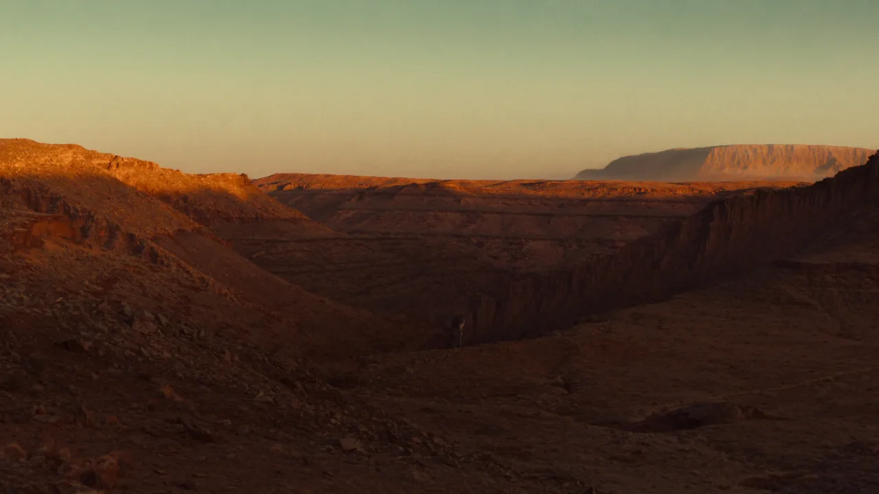
Kasha-Katuwe Tent Rocks National Monument, managed by the Bureau of Land Management's Rio Puerco Field Office, lies on the Pajarito Plateau in north-central New Mexico. Its striking cone-shaped "tent rock" formations were born from volcanic eruptions 6 to 7 million years ago. These whimsical spires, ranging from a few feet to 90 feet tall, create a surreal skyscape. The monument's elevation varies from 5,570 to 6,760 feet above sea level, shaping its rugged high-desert character. Visitors can explore a landscape where geology feels both ancient and alive.
Best season — Spring and fall offer mild temperatures ideal for hiking. Summers can be very hot, and winter may bring snow and icy trail conditions.
What makes Kasha-Katuwe Tent Rocks National Monument special?
The monument is distinguished by its cone-shaped tent rock formations, formed from volcanic eruptions 6 to 7 million years ago. These spires, up to 90 feet high, sit at elevations between 5,570 and 6,760 feet. The combination of ancient volcanism and the high-desert plateau creates an otherworldly, photogenic landscape.
- Cone-shaped tent rocks from ancient volcanic eruptions
- Formations range from a few feet up to 90 feet tall
- Elevation spans 5,570 to 6,760 feet on the Pajarito Plateau
At a glance
The facts worth checking before you roll out
Conservative, source-minded facts for planning your visit — always worth confirming against current conditions before you travel.
Managing agency
Bureau of Land Management, Rio Puerco Field Office
State
New Mexico (north-central, on the Pajarito Plateau)
Defining feature
Cone-shaped 'tent rock' formations from volcanic eruptions 6 to 7 million years ago, ranging from a few feet up to 90 feet tall
Elevation
Ranges from 5,570 feet to 6,760 feet above sea level
On the ground
Kasha-Katuwe Tent Rocks National Monument, managed by the Bureau of Land Management's Rio Puerco Field Office, preserves a unique geological landscape on the Pajarito Plateau in north-central New Mexico. Formed by volcanic eruptions between six and seven million years ago, the cone-shaped rock formations offer a striking visual experience. These 'tent rocks' stand as evidence of ancient volcanism and ongoing erosion.
RV travelers to this monument typically engage in hiking and photography. The landscape presents opportunities to explore trails among the sculpted tuff formations, ranging in height from a few feet up to 90 feet. Observing these unusual spires against the New Mexico sky is a primary activity for visitors appreciating the high-desert environment.
The best seasons for visiting Kasha-Katuwe Tent Rocks are spring and fall when temperatures are mild enough for comfortable hiking. Summers bring intense heat, while winters can introduce snow and icy conditions at elevations between 5,570 and 6,760 feet. Planning a trip considering these seasonal changes is important.
Consider establishing a basecamp in the general vicinity to explore Kasha-Katuwe along with other regional attractions. This allows for day trips to the monument while enjoying the flexibility of RV travel. The Pajarito Plateau offers access to this BLM managed area, providing opportunities to experience New Mexico’s high desert terrain.
Official sources
- Bureau of Land Management — Kasha-Katuwe Tent Rocks National Monument Bureau of Land Management
Nearby & related
Keep planning New Mexico
Sourced costs, campground directories, and the places worth a detour — the next layer of New Mexico trip planning.
- New Mexico RV rental costFuel · camping · tax, sourced
- New Mexico RV-friendly campgroundsHookups, rig limits, booking tips
- Campervan & van rentals in New MexicoVan-life routes, rules & rigs
- National monumentsProtected-land guides
- Scenic landmarksBucket-list overlooks
- Wildlife refugesWildlife-watching stops
- Deep trip guidesLong-form seasonal playbooks
Planning an RV trip near Kasha-Katuwe Tent Rocks National Monument: An RV Traveler's Guide?
Was this guide helpful?