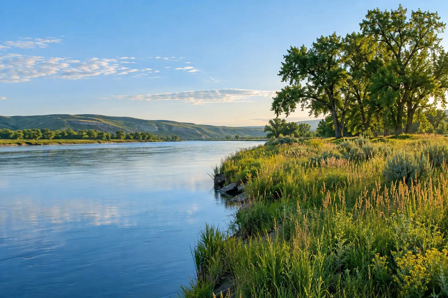
The Saint Croix River forms a lush, forested border between Minnesota and Wisconsin, flowing through a federally protected Wild and Scenic riverway. Designated in 1968 as one of America’s original protected rivers, the Saint Croix National Scenic Riverway preserves the river’s clean, gentle currents, dramatic sandstone bluffs, and quiet backwaters. Paddlers, anglers, and wildlife watchers are drawn to its serene beauty. The corridor is rich in history, from ancient Indigenous trade routes to 19th-century logging towns, offering a peaceful escape within reach of the Twin Cities.
Best season — May through October—spring for high water and wildflowers, summer for swimming and tubing, and early autumn for brilliant fall foliage and fewer crowds.
Why is the Saint Croix River a popular RV destination?
The riverway offers a quintessential Midwest paddling and camping experience. RVers can base at well-connected state parks, then spend days canoeing, kayaking, or tubing calm stretches, or exploring historic riverside villages.
- Well-connected state parks with RV camping
- Calm stretches ideal for paddling and tubing
- Historic riverside villages to explore
At a glance
The facts worth checking before you roll out
Conservative, source-minded facts for planning your visit — always worth confirming against current conditions before you travel.
Managing agency
National Park Service (Saint Croix National Scenic Riverway)
States
Wisconsin and Minnesota
Designated mileage
252 total miles (193 Scenic + 59 Recreational)
Year designated
Originally October 2, 1968 (one of the original eight Wild and Scenic Rivers); lower segment added October 25, 1972
On the ground
The Saint Croix National Scenic Riverway protects 252 miles of a vital waterway forming a border between Minnesota and Wisconsin. Designated in 1968, it preserves clean currents, sandstone bluffs, and quiet backwaters for future generations. This federally protected area showcases the region’s natural beauty and historical significance, from Indigenous trade routes to 19th-century logging.
RV travelers within the Riverway commonly access the river through various points and riverside state parks. Popular activities include paddling calm stretches of water, fishing in clear conditions, and enjoying scenic cruises. Exploration of charming river towns also provides a glimpse into local history and culture, all easily accessible from established base camps.
The best time to visit spans May through October. Spring offers high water levels and wildflowers, while summer is ideal for swimming and tubing on the river. Early autumn brings vibrant fall foliage and generally sees fewer visitors. Planning a trip during these months maximizes opportunities for outdoor recreation and scenic enjoyment.
Consider establishing a basecamp in a well-connected state park near the Riverway. From this location, RVers can easily access multiple points along the 252-mile corridor to enjoy paddling, fishing, or simply appreciating the scenery. This approach allows flexible exploration of both Minnesota and Wisconsin sections of the waterway.
Official sources
- National Park Service — Saint Croix National Scenic Riverway National Park Service
Nearby & related
Keep planning Minnesota
Sourced costs, campground directories, and the places worth a detour — the next layer of Minnesota trip planning.
- Minnesota RV rental costFuel · camping · tax, sourced
- Minnesota RV-friendly campgroundsHookups, rig limits, booking tips
- Campervan & van rentals in MinnesotaVan-life routes, rules & rigs
- BattlefieldsHallowed-ground history stops
- National memorialsMonumental road stops
- National preservesBackcountry-scale wilds
- RV lifehacksCamp-smarter field tricks
Planning an RV trip near Saint Croix National Scenic Riverway: An RV Traveler's Guide?
Was this guide helpful?