Day hike · trailhead + RV staging
Mount Katahdin Knife Edge
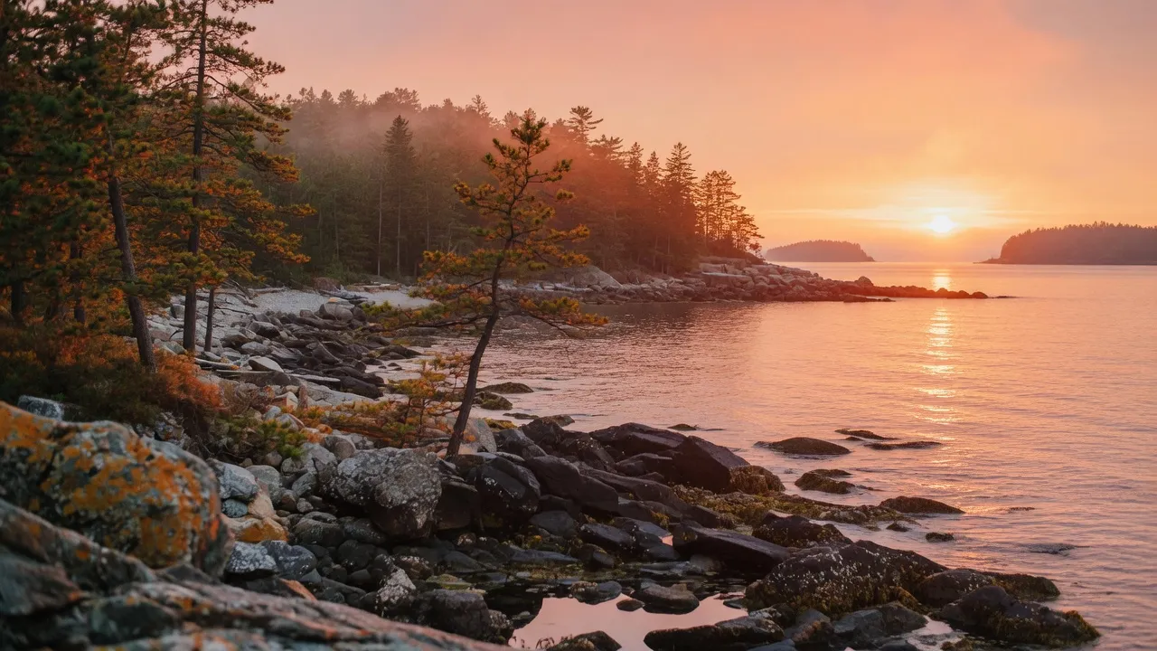
Maine landscape — scene-setting, not a photograph of the trail.
- Length
- 10.4 mi
- Elevation gain
- 4,200 ft
- Difficulty
- Very strenuous
10.4 mi · 4,200 ft · 1.1-mi Knife Edge arête 4 ft wide with 1,500-ft drops both sides. AT northern terminus at Baxter Peak. Baxter SP lottery (Apr 1) caps 1,100 day-use parkers. Roaring Brook caps rigs at 22 ft.
Field almanac
- State
- Maine
- Trail type
- Day hike
- Sources
- Cited official (.gov / .org)
At a glance
The facts that set the plan
The trail’s own numbers plus the rig-truth at the trailhead — always worth confirming against current agency conditions before you roll out.
Length
10.4 mi
Elevation gain
4,200 ft
Difficulty
Very strenuous
Trailhead parking
200 spaces
Car-only lot
Shuttle
Not required
Permit
Required
The trail
Walking the Mount Katahdin Knife Edge
Katahdin's Knife Edge is the most-feared mile in the eastern US — a 1.1-mile traverse between Pamola Peak and Baxter Peak (Katahdin's true summit at 5,269 ft) along an arête that narrows to 4 feet wide in places with 1,500-foot drops on both sides. The standard route ascends via the Helon Taylor Trail (3,000 ft of climb in 3.2 mi, all above-treeline boulder hopping), crosses the Knife Edge, summits Baxter Peak (the Appalachian Trail's northern terminus), and descends via the Saddle Trail. Baxter State Park caps daily visitation at 1,100 day-use parkers via an online lottery opening April 1 each year — the rules are unique because Baxter is a privately-administered state park (Governor Percival Baxter's bequest specified forever-wild management distinct from Maine DEC). Roaring Brook Campground caps rigs at 22 ft (no exceptions); larger rigs must stage outside Baxter at Abol Bridge Campground. Katahdin's weather kills hikers — afternoon thunderstorms above treeline are an annual fatality cause.
Where the rig goes
Stage the rig, then walk in
The trail is administered by Baxter State Park (ME, privately-administered). On a trail like this the rig rarely reaches the trailhead itself — the planning fact is where it waits while you walk.
The staging trailhead holds roughly 200 vehicles, and the lot is car-only — leave the rig at the nearest basecamp and arrive early. Secure the permit or lottery slot before you build the trip around it.
Closest RV-friendly basecamp: Roaring Brook Campground (Baxter SP, 22-ft rig cap, dry only).
Official sources
- Katahdin Trail conservancy (.org)
- Day use parking reservations Trail conservancy (.org)
- Camping Trail conservancy (.org)
Maine rules · last verified 2026-05-10
- State rental tax
- 7% · not collected by PickRV
- Min driver age
- 18+ std · 21+ Class A
- Gravel roads
- Allowed — no restriction
- Generator quiet
- 22:00-07:00
Nearby & related
Keep planning Maine
Sourced costs, campground directories, and the places worth a detour — the next layer of Maine trip planning.
- Maine RV rental costFuel · camping · tax, sourced
- Maine RV-friendly campgroundsHookups, rig limits, booking tips
- Campervan & van rentals in MaineVan-life routes, rules & rigs
- Lakes & reservoirsWaterside camps & guides
- Hot springsSoak-worthy road stops
- Ghost townsBoom-and-bust detours
- RV driving & licensingLicenses, lanes & low bridges
Planning an RV trip to Maine?
Was this guide helpful?