Day hike · trailhead + RV staging
Highline Trail
11.8 mi · 1,950 ft · Going-to-the-Sun Road bans rigs over 21 ft / 8 ft wide. Rig stays at Apgar, you take the free park shuttle. Last Logan Pass shuttle at 6pm — miss it and you're walking back.
- State
- Montana
- Trail type
- Day hike
- Sources
- Cited official (.gov / .org)
At a glance
The facts that set the plan
The trail’s own numbers plus the rig-truth at the trailhead — always worth confirming against current agency conditions before you roll out.
Length
11.8 mi
Elevation gain
1,950 ft
Difficulty
Strenuous
Trailhead parking
200 spaces
Car-only lot
Shuttle
Required
Permit
Walk-up OK
The trail
Walking the Highline Trail
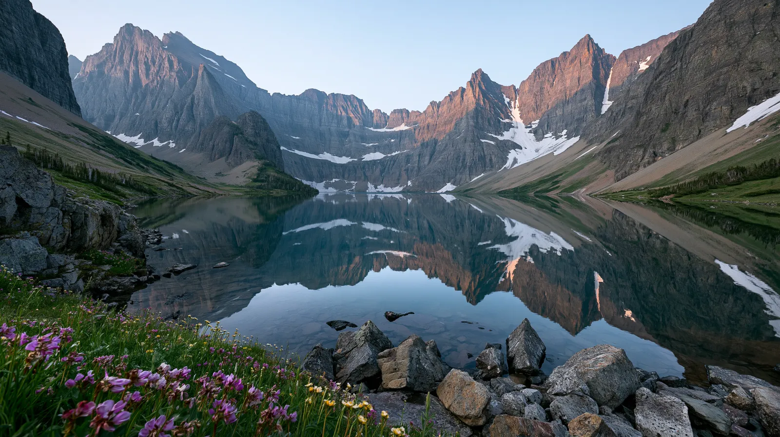
The Highline Trail is the marquee Glacier day hike — an 11.8-mile shuttle-supported point-to-point that follows the Garden Wall ridge (the Continental Divide's northern edge inside the park) from Logan Pass northbound to The Loop, then descends 2,200 feet via four miles of switchbacks back to Going-to-the-Sun Road. The trail traces the ridge that separates the Lake McDonald (west) and Saint Mary (east) drainages, and on a clear day you can see north into Canada's Waterton Lakes National Park (the Glacier-Waterton International Peace Park, the world's first transboundary peace park, designated in 1932) and south to the Lewis Range peaks above Two Medicine.
The trail's elevation profile is famously inverted. Logan Pass starts at 6,646 ft, and from there you lose roughly 2,000 net feet before climbing back up 250 ft to Granite Park Chalet at mile 7.6 — which means the standard northbound direction puts the cumulative climb at the end of the day when legs are tired. The reverse direction (southbound from The Loop to Logan Pass) front-loads a 2,200-ft switchback grind in the first 4 miles and then walks the ridge mostly downhill, which is the option preferred by hikers who want to bank elevation early. Granite Park Chalet, a privately-operated backcountry lodge built by the Great Northern Railway in 1914 and operated today under NPS concession by Belton Chalets Inc, sells lemonade and snacks on the porch but does not stock water — bring 3+ liters minimum on hot July days.
Vehicles over 21 feet long or 8 feet wide are flat-out prohibited on Going-to-the-Sun Road between Avalanche Creek (west side) and Sun Point (east side) — this is the actual federal rule enforced by NPS rangers via vehicle-spotter stations at each end of the restricted segment, not a recommendation. The rig stays at Apgar Campground (194 sites, 40-ft cap, dry only, the largest in-park campground on the west side with first-come and reservable loops on recreation.gov), Avalanche Campground (87 sites, 26-ft cap, dry only, right next to the Trail of the Cedars and Avalanche Lake trailhead but excludes most Class A rigs), or commercial RV parks in West Glacier and Hungry Horse just outside the West entrance. You board the free park shuttle that runs Apgar to Logan Pass via Avalanche Creek and Lake McDonald Lodge from early July through Labor Day weekend.
Glacier's vehicle reservation system (separate from the campground reservation system) further gates Going-to-the-Sun Road access. From late May through mid-September, vehicles entering the road between 6am and 3pm need a per-vehicle reservation purchased on recreation.gov ($2) plus the standard park entry fee. The reservation system released 80 percent of slots 4 months in advance and 20 percent rolling 24 hours in advance, with the next-day pool dropping at 7pm Mountain Time. The Many Glacier and Two Medicine areas have separate reservation requirements that overlap but don't share permits.
The Highline shuttle pickup at The Loop runs every 30 minutes during peak season but the last northbound shuttle from Logan Pass back to your start point is typically 6 or 7pm depending on the season (NPS publishes the exact daily schedule and adjusts it for daylight) — miss it and you face an 11-mile walk back to your starting trailhead via Going-to-the-Sun Road shoulder, which closes to pedestrians after dark for vehicle-safety reasons. Hidden Lake Overlook (2.7 miles round trip from Logan Pass) is the short alternative if shuttle timing fails — a boardwalk-and-rock-step climb to a Garden Wall overlook that doesn't require shuttle coordination. Grizzly bear encounters on the Highline averaged 3-5 per peak-season week per ranger reports during 2019-2023; bear spray is standard equipment and the trail closes temporarily if a sow-with-cubs is seen on the corridor.
Where the rig goes
Stage the rig, then walk in
The trail is administered by Glacier National Park. On a trail like this the rig rarely reaches the trailhead itself — the planning fact is where it waits while you walk.
The staging trailhead holds roughly 200 vehicles, and the lot is car-only — leave the rig at the nearest basecamp and arrive early. In season a shuttle is the practical way to the trailhead.
Closest RV-friendly basecamp: Apgar Campground (Glacier, 40-ft rig cap, dry only).
Official sources
- www.nps.gov/glac/planyourvisit/highline-trail.htm National Park Service
- www.nps.gov/glac/planyourvisit/shuttles.htm National Park Service
- www.nps.gov/glac/planyourvisit/vehiclereservations.htm National Park Service
- www.nps.gov/glac/planyourvisit/apgar-campground.htm National Park Service
- www.nps.gov/glac/planyourvisit/going-to-the-sun-road.htm National Park Service
Montana rules · last verified 2026-05-10
- Rental tax
- 0.00%
- Min driver age
- 18+ std · 21+ Class A
- Gravel roads
- Allowed — no restriction
- Generator quiet
- 22:00-08:00
Nearby & related
Keep planning Montana
Sourced costs, campground directories, and the places worth a detour — the next layer of Montana trip planning.
- Montana RV rental costFuel · camping · tax, sourced
- Montana RV-friendly campgroundsHookups, rig limits, booking tips
- RV rental companies in MontanaLocal hosts & outfitters, verified
- Campervan & van rentals in MontanaVan-life routes, rules & rigs
- Sand dunesDune fields worth the climb
- Fossil sitesDeep-time road stops
- Petroglyph sitesAncient rock-art stops
- RV driving & licensingLicenses, lanes & low bridges
Planning an RV trip to Montana?
Was this guide helpful?