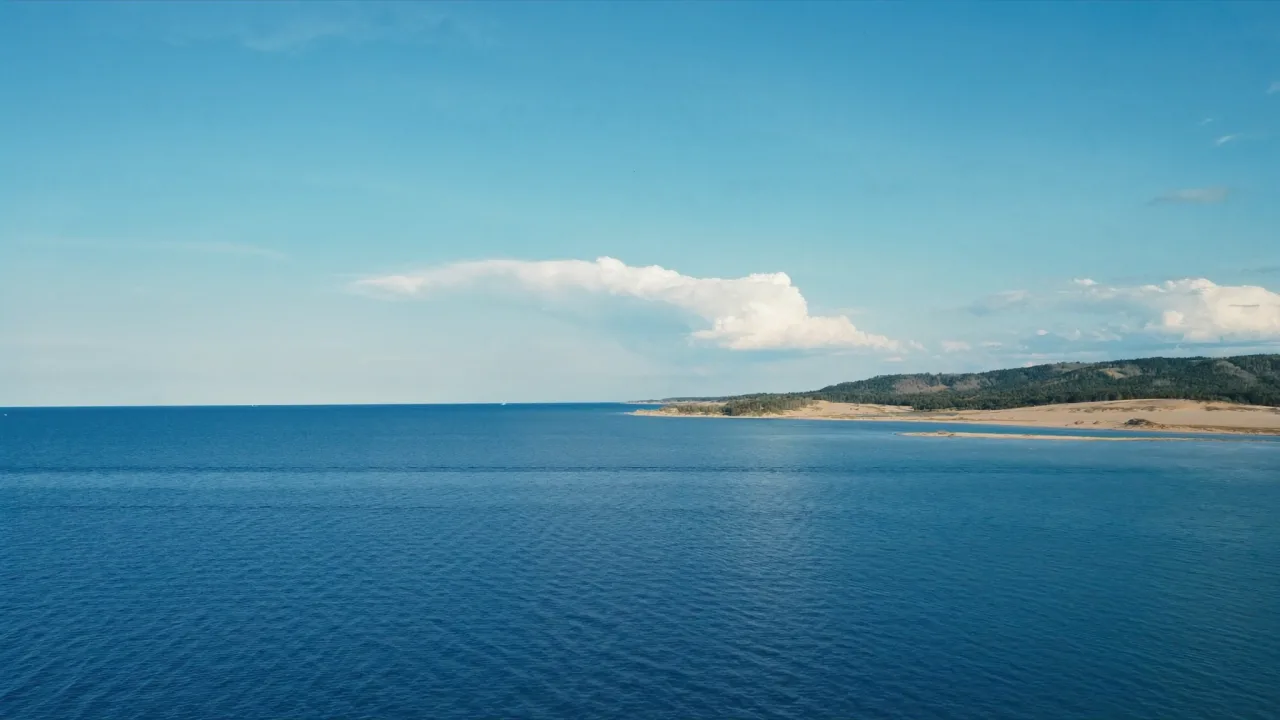
Pictured Rocks National Lakeshore stretches along 42 miles of Lake Superior’s rugged shoreline in Michigan’s Upper Peninsula, named for the mineral-stained sandstone cliffs that streak red, orange, blue, and green above the water. Beyond the cliffs, the park protects sandy beaches, towering dunes, forested trails, and dozens of waterfalls that cascade into crystal-clear streams. Visitors explore by kayak, cruise boat, or on foot, discovering a lakeshore shaped by wind and waves over thousands of years.
Best season — Summer and early fall (June–October)
Why visit Pictured Rocks National Lakeshore?
Its namesake cliffs, painted by mineral springs, create a 15-mile-long kaleidoscope of colors along Lake Superior. Combined with easy-to-reach waterfalls, sandy beaches, and dense northern forests, the lakeshore offers a compact yet wildly scenic slice of Upper Peninsula wilderness.
- Vividly colored sandstone cliffs shaped by mineral seepage
- Over 100 miles of trails through forests, dunes, and beaches
- Dozens of waterfalls, including Munising Falls and Miners Falls
At a glance
The facts worth checking before you roll out
Conservative, source-minded facts for planning your visit — always worth confirming against current conditions before you travel.
Managing agency
National Park Service (U.S. Department of the Interior)
State
Michigan
Setting
Located along the Lake Superior shore
Defining features
Sandstone cliffs, beaches, waterfalls, sand dunes, inland lakes, deep forest, and wild shoreline
On the ground
Pictured Rocks National Lakeshore preserves 42 miles of Lake Superior’s shoreline in Michigan's Upper Peninsula. The park is defined by the vividly colored sandstone cliffs—up to 200 feet high—created by mineral seepage over millennia. Beyond these dramatic formations, it protects a diverse landscape of beaches, dunes, and forested areas managed by the National Park Service.
RV travelers explore Pictured Rocks through various activities. Over 100 miles of trails offer access to remote beaches, lighthouses, and waterfalls like Munising Falls and Chapel Falls. Scenic boat tours provide exceptional views of the cliffs, while kayakers can experience the shoreline up close. Wildlife viewing opportunities exist for species such as black bears and moose.
The best time to visit Pictured Rocks is during summer and early fall—June through October—when conditions are most favorable for outdoor recreation. These months offer access to trails and waterways, though weather on Lake Superior can be unpredictable. Planning ahead ensures a more enjoyable experience within the park’s varied terrain.
Consider establishing a basecamp in the area surrounding Pictured Rocks before venturing into the National Lakeshore each day. This allows flexibility for exploring different sections of the park at your own pace. From this central location, access to hiking trails, boat tours, and waterfalls is readily available, creating a balanced RV itinerary.
Official sources
- National Park Service — Pictured Rocks National Lakeshore National Park Service
Nearby & related
Keep planning Michigan
Sourced costs, campground directories, and the places worth a detour — the next layer of Michigan trip planning.
- Michigan RV rental costFuel · camping · tax, sourced
- Michigan RV-friendly campgroundsHookups, rig limits, booking tips
- Campervan & van rentals in MichiganVan-life routes, rules & rigs
- Caves & cavernsShow-cave trip guides
- National monumentsProtected-land guides
- Scenic landmarksBucket-list overlooks
- RV renter basicsFirst-rental fundamentals
Planning an RV trip near Pictured Rocks National Lakeshore: An RV Traveler's Guide?
Was this guide helpful?