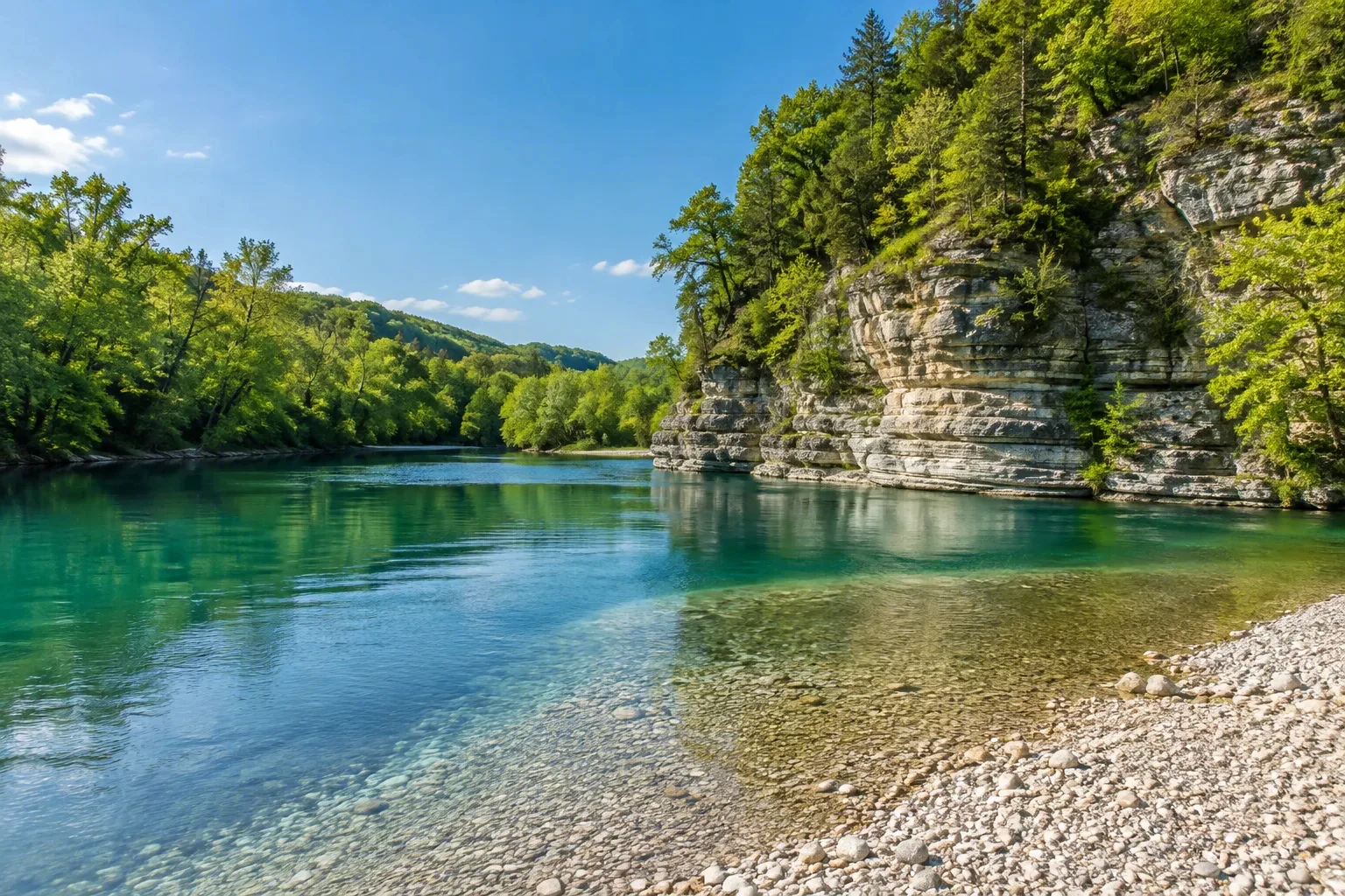
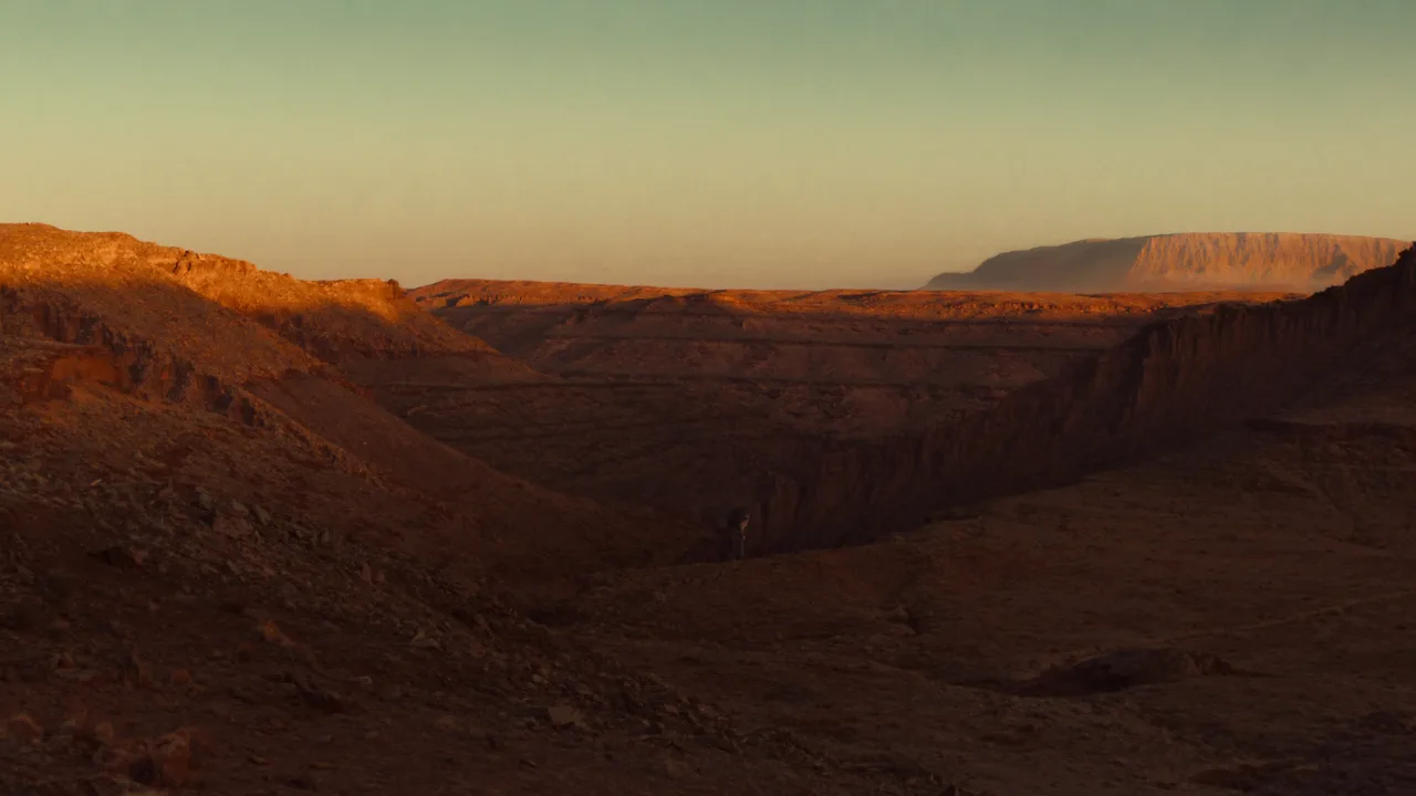
Carving a roughly 900-foot-deep canyon of colorful siltstone, gypsum, and sandstone layers, the Wild and Scenic Rio Chama winds through northern New Mexico. Its federally designated 24.6-mile stretch, with 3 miles Scenic and 21.6 miles Wild, offers a serene float past towering cliffs and cottonwood-lined banks. Co-managed by the Bureau of Land Management and the U.S. Forest Service, this river invites multi-day canoe or raft trips under vast Southwestern skies.
Best season — Late spring through early summer for higher flows; autumn for golden cottonwoods and mild weather.
What makes the Rio Chama a top Wild and Scenic River for RV travelers?
It pairs a stunning red-rock canyon float with easy river access and nearby camping, making it simple to start a multi-day adventure right from your RV. Glide through echoey sandstone walls, soak in solitude, and enjoy enormous Southwestern skies, then relax under a canopy of stars.
- Carves a roughly 900-foot-deep canyon of colorful siltstone, gypsum, and sandstone layers.
- Designated a Wild and Scenic River on November 7, 1988.
- The designated stretch runs 24.6 miles with 3 miles Scenic and 21.6 miles Wild.
At a glance
The facts worth checking before you roll out
Conservative, source-minded facts for planning your visit — always worth confirming against current conditions before you travel.
Managing agencies
Co-managed by the Bureau of Land Management (Taos Field Office) and the U.S. Forest Service (Carson and Santa Fe National Forests)
State
New Mexico
Designated length
24.6 miles (3 miles Scenic, 21.6 miles Wild)
Defining characteristic
Carved a roughly 900-foot-deep canyon of colorful siltstone, gypsum, and sandstone layers; designated a Wild and Scenic River on November 7, 1988
On the ground
The Rio Chama is a federally designated Wild and Scenic River in northern New Mexico, recognized for its roughly 900-foot-deep canyon formed from colorful siltstone, gypsum, and sandstone. Managed jointly by the Bureau of Land Management and U.S. Forest Service, this 24.6-mile stretch—with portions both ‘Wild’ and ‘Scenic’—offers a unique opportunity to experience a serene Southwestern river environment.
RV travelers utilize the Rio Chama primarily for multi-day canoe or raft trips. The gentle current is well-suited for paddling, while the canyon provides opportunities for fishing and observing wildlife along its cottonwood-lined banks. Campsites are present within the corridor allowing extended stays immersed in a quiet desert landscape away from typical roadways.
The best time to experience the Rio Chama is during late spring through early summer when river flows are typically higher. Alternatively, autumn offers pleasant weather and showcases golden hues of the cottonwood trees lining the banks. Planning around these seasons will enhance your enjoyment of this remote New Mexico destination.
Consider establishing a basecamp in the broader area to explore the Rio Chama. From there, access points allow for launching river trips or simply enjoying the scenery. This approach offers flexibility, allowing you to combine a serene river experience with other regional attractions and comfortable RV amenities.
Official sources
- Bureau of Land Management — Rio Chama Bureau of Land Management
Nearby & related
Keep planning New Mexico
Sourced costs, campground directories, and the places worth a detour — the next layer of New Mexico trip planning.
- New Mexico RV rental costFuel · camping · tax, sourced
- New Mexico RV-friendly campgroundsHookups, rig limits, booking tips
- Campervan & van rentals in New MexicoVan-life routes, rules & rigs
- National memorialsMonumental road stops
- National preservesBackcountry-scale wilds
- Lakes & reservoirsWaterside camps & guides
- RV driving & licensingLicenses, lanes & low bridges
Planning an RV trip near Rio Chama: An RV Traveler's Guide?
Was this guide helpful?