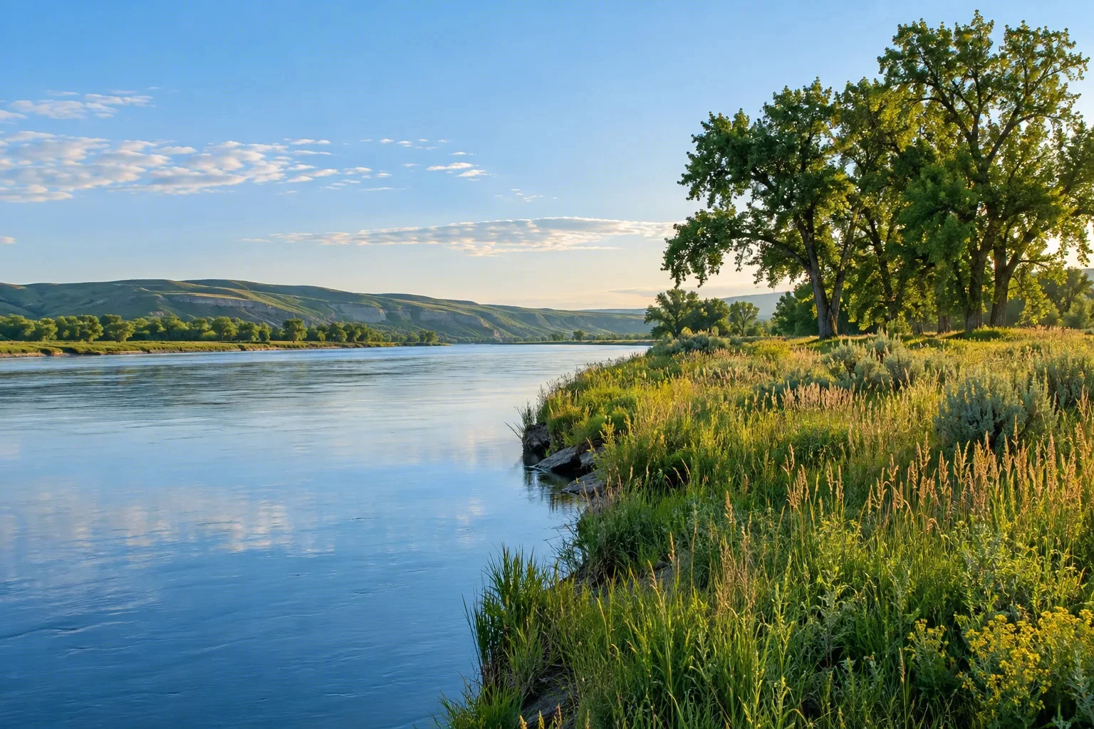
Designated on May 10, 1974, the Chattooga River flows 58.7 miles through Georgia, North Carolina, and South Carolina as one of the Southeast’s most treasured free-flowing streams. This Wild and Scenic River plunges through a deep Appalachian gorge, offering thrilling whitewater, cool swimming holes, and exceptional trout waters. RV travelers find a pristine, undeveloped corridor of forested slopes, tumbling waterfalls, and quiet backcountry. Managed by the U.S. Forest Service across three national forests, the Chattooga invites paddlers, anglers, and hikers to experience a landscape that feels untouched by time and brimming with wild, mountain character.
Best season — Spring brings optimal rafting flows; summer invites swimming in deep pools; fall provides vibrant foliage and quieter trails; winter offers solitude and fly-fishing when water is clear. Water levels fluctuate, so check the official site before planning river activities.
What makes the Chattooga River a Wild & Scenic destination?
The Chattooga’s 1974 designation safeguards a 58.7-mile stretch of free-flowing water through remote Appalachian gorges. Its clean, cold waters support wild trout and offer whitewater runs from mild to challenging. The river’s untrammeled surroundings, deep forest setting, and variety of paddling and hiking opportunities embody the spirit of a Wild and Scenic River.
- 58.7 miles of protected river, with 41.6 miles designated as wild
- Flows through Georgia, North Carolina, and South Carolina
- Managed by the U.S. Forest Service across three national forests

At a glance
The facts worth checking before you roll out
Conservative, source-minded facts for planning your visit — always worth confirming against current conditions before you travel.
Designation
Designated a Wild & Scenic River on May 10, 1974
States
Georgia, North Carolina, South Carolina
Designated length
58.7 total miles (41.6 wild, 2.5 scenic, 14.6 recreational)
Managing agency
U.S. Forest Service (Chattahoochee-Oconee, Francis Marion & Sumter, and National Forests in North Carolina)
On the ground
The Chattooga River, designated on May 10, 1974, is a free-flowing waterway spanning 58.7 miles through Georgia, North Carolina and South Carolina. Recognized for its wild character, the river flows through an Appalachian gorge offering diverse recreational opportunities. The U.S. Forest Service manages this valuable resource across three national forests, preserving it for future generations.
RV travelers to the Chattooga River corridor enjoy a variety of outdoor pursuits. Anglers seek exceptional trout waters, while rafters and kayakers navigate sections ranging from gentle floats to challenging whitewater. Hikers explore forested slopes and waterfalls along the river’s 58.7-mile course. RVers often utilize nearby national forest locations as basecamps for these activities.
Seasonal conditions greatly influence experiences on the Chattooga River. Spring provides ideal flows for rafting, while summer offers cool swimming holes. Fall showcases vibrant foliage and quieter trails. Winter presents opportunities for solitary fly fishing when waters are clear; however, water levels fluctuate so checking official resources is important before planning a trip.
Consider establishing a basecamp in the national forest near the Chattooga River to explore its various sections. From this central location, RVers can access hiking trails and river launch points. This allows for flexible day trips focused on paddling, fishing, or simply appreciating the undeveloped beauty of this Wild and Scenic River corridor.
Official sources
- U.S. Forest Service — Chattooga River USDA Forest Service
Nearby & related
Keep planning Georgia
Sourced costs, campground directories, and the places worth a detour — the next layer of Georgia trip planning.
- Georgia RV rental costFuel · camping · tax, sourced
- Georgia RV-friendly campgroundsHookups, rig limits, booking tips
- Campervan & van rentals in GeorgiaVan-life routes, rules & rigs
- Wild-horse rangesMustang-range guides
- BLM landsDispersed-camping country
- Historic sitesHistory worth the detour
- Deep trip guidesLong-form seasonal playbooks
Planning an RV trip near Chattooga River: An RV Traveler's Guide?
Was this guide helpful?