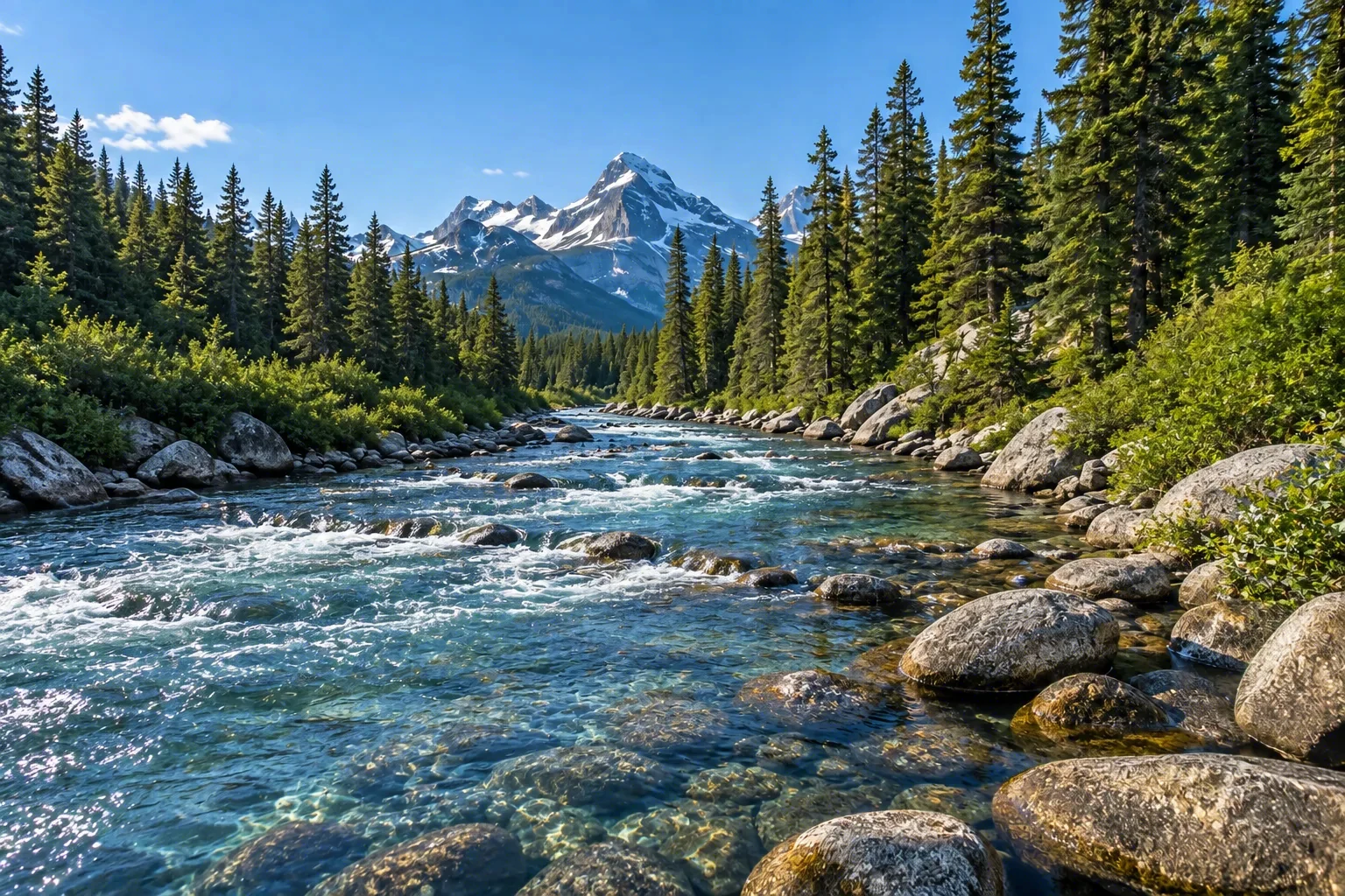
A 92.5-mile ribbon of lakes, quickwater, and gentle rapids through the vast North Maine Woods, the Allagash Wilderness Waterway is a federally designated Wild & Scenic River and one of the country's premier canoe-camping journeys. Paddlers glide past spruce-fir shorelines, rocky points, and remote campsites while moose, bald eagles, and loons appear with surprising regularity. The river corridor remains free of roads and development, preserving an immersive backcountry experience that has drawn canoeists since its wild river designation in 1970.
Best season — Late spring through fall; paddling is most comfortable from June through September after the black fly peak. Fall foliage adds color and typically lower water levels.
What makes the Allagash Wilderness Waterway a bucket-list canoe trip?
It delivers a genuine wilderness paddle through an unfragmented forest, with moose in the shallows, eagles overhead, and dark sky nights at lakeside campsites.
- 92.5 total miles of Wild river, all within Maine.
- Designated as a wild river on July 19, 1970.
- Managed by the Maine Bureau of Parks & Lands.
At a glance
The facts worth checking before you roll out
Conservative, source-minded facts for planning your visit — always worth confirming against current conditions before you travel.
Designation
Designated a wild river on July 19, 1970
State
Maine
Designated length
92.5 total miles, all classified Wild
Managing agency
Maine Bureau of Parks & Lands
On the ground
The Allagash Wilderness Waterway is a 92.5-mile stretch of river within the North Maine Woods, designated Wild and Scenic in 1970. It’s defined by lakes connected by streams and gentle rapids, offering an immersive backcountry experience. This corridor prioritizes preservation, maintaining a remote character free from roads and development while protecting vital wildlife habitat.
RV travelers access the Waterway as a base for canoe trips along sections of this 92.5-mile route. The area's remoteness means limited services within the river corridor itself; planning involves launching canoes at various points to explore lakes and connect with the waterway’s unique landscape. Wildlife viewing, especially moose, eagles, and loons, is a common activity.
The best time for RV travel coinciding with Waterway exploration is late spring through fall. Paddling conditions are most comfortable from June through September following peak black fly season. Fall brings colorful foliage and typically lower water levels, providing different scenic opportunities along the 92.5-mile route within Maine.
Consider establishing a basecamp in the area surrounding the North Maine Woods to explore the Allagash Wilderness Waterway. From there, plan day trips or multi-day canoe excursions accessing various points along the river. This allows RV travelers to experience the waterway’s solitude and beauty while maintaining comfortable accommodations.
Official sources
- State park system — Allagash Wilderness Waterway State parks agency
Nearby & related
Keep planning Maine
Sourced costs, campground directories, and the places worth a detour — the next layer of Maine trip planning.
- Maine RV rental costFuel · camping · tax, sourced
- Maine RV-friendly campgroundsHookups, rig limits, booking tips
- Campervan & van rentals in MaineVan-life routes, rules & rigs
- National monumentsProtected-land guides
- Scenic landmarksBucket-list overlooks
- Wildlife refugesWildlife-watching stops
- Deep trip guidesLong-form seasonal playbooks
Planning an RV trip near Allagash Wilderness Waterway: An RV Traveler's Guide?
Was this guide helpful?