Long distance · trailhead + RV staging
Wonderland Trail
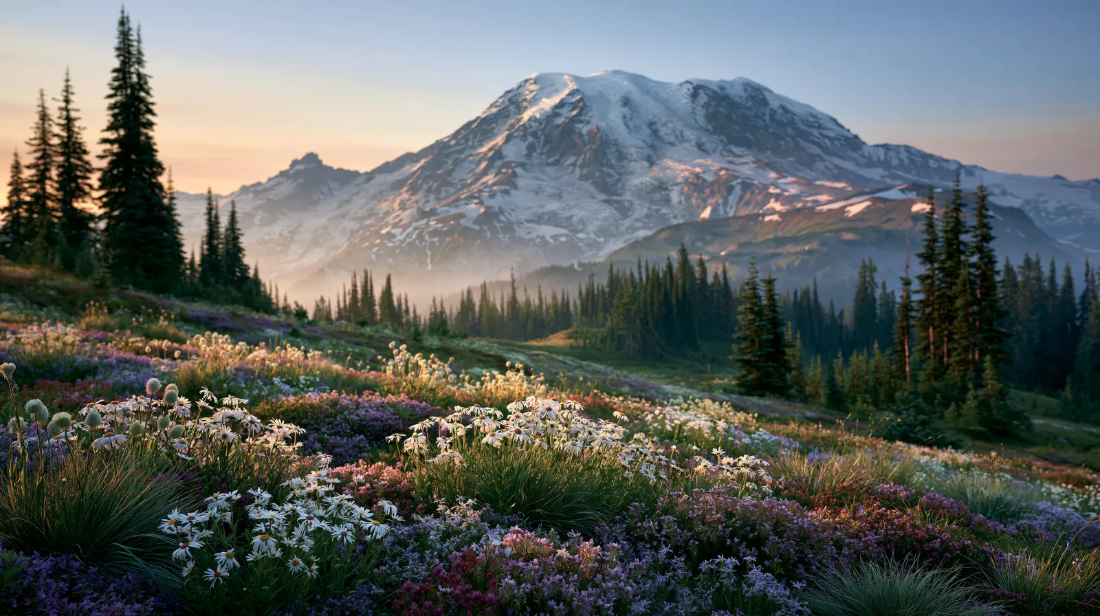
93 mi loop around Rainier · 22,000 ft of climb · permits via March recreation.gov lottery (cap 2–6 parties per camp zone per night). Cougar Rock and White River are the rig basecamps.
- State
- Washington
- Trail type
- Long distance
- Sources
- Cited official (.gov / .org)
At a glance
The facts that set the plan
The trail’s own numbers plus the rig-truth at the trailhead — always worth confirming against current agency conditions before you roll out.
Length
93 mi
Elevation gain
22,000 ft
Difficulty
Very strenuous
Trailhead parking
200 spaces
Oversize rigs OK
Shuttle
Not required
Permit
Required
The trail
Walking the Wonderland Trail
The Wonderland Trail circles Mount Rainier in 93 miles and 22,000 feet of cumulative climb — every drainage on every flank of the volcano, gained and lost over and over. The trail was originally cut in 1915 by the Mountaineers (a Seattle-based outdoor club) plus park rangers, and the route remains substantially the same century-old corridor today, though NPS has rebuilt several segments after major glacial-outwash events that wiped out trail tread in the Carbon River and Tahoma Creek drainages.
Wilderness camping permits are the limiting factor. Mt Rainier issues them via a recreation.gov early-access lottery that opens for applications in mid-February each year, with the lottery drawing in mid-March, and the route's 18 designated camp zones each cap at 2 to 6 parties per night depending on zone capacity. The most-requested zones — Mowich Lake, Mystic Lake, Indian Bar, Summerland, Klapatche Park — get over 10x the application volume their permit caps allow, which means hikers who don't draw their first-choice itinerary typically rebuild the loop around whatever zones they did get. The post-lottery walk-up permit system at the Longmire and White River wilderness information centers releases ~30 percent of permits day-of for late-cancellation pickups; arriving at 7am the day before your planned start is the accepted hack for hikers who missed the spring lottery.
Without a permit, the trail is hikeable as a day hike (the route crosses every park road at least once — Sunrise, Paradise, Longmire, Ohanapecosh — making 5-15 mile out-and-back segments easy to assemble) or as a guided base-camp itinerary that splits the loop into shorter chunks reachable from the four staging areas. The most-popular non-thru-hike segment is the Spray Park / Knapsack Pass loop from Mowich Lake (a 7-mile day hike crossing Spray Park's wildflower meadows in late July) or the Summerland-to-Indian-Bar traverse (an 11-mile point-to-point through alpine meadows on the volcano's east side, with a shuttle car needed between trailheads).
Cougar Rock Campground (173 sites, 35-ft rig cap, dry-only, near Longmire on the southwestern park entrance) is the rig basecamp for the southwestern quarter — including Paradise, the most-photographed wildflower destination in the National Park system. Cougar Rock reserves on recreation.gov 6 months ahead during peak season (late June through Labor Day) and goes first-come the rest of the year. White River Campground (112 sites, 27-ft rig cap, dry-only, near the Sunrise entrance on the northeast side) holds the Sunrise-side approach to the Wonderland — its short rig-length cap excludes most Class A motorhomes and any travel trailer over 27 ft. Ohanapecosh Campground (188 sites, 32-ft rig cap, dry-only, on the southeast park boundary at the Stevens Canyon entrance) is the rig basecamp for the Indian Bar segment via the Stevens Canyon road approach. There are no full-hookup campgrounds inside Mount Rainier National Park; rigs needing electric or sewer stage at commercial RV parks in Ashford WA (the southwestern gateway town, 6 miles outside the Nisqually entrance) or in Enumclaw WA (the northeastern gateway 30 miles from the White River entrance).
The trail's snow window opens late July most years and closes by mid-September on the higher north and east flanks. Mystic Pass (5,800 ft on the east side) and Ipsut Pass (5,100 ft on the northwest) clear earliest; Spray Park (6,400 ft) and Panhandle Gap (6,800 ft) clear last. Glacial-outwash stream crossings — particularly the South Mowich River, the Carbon River, and Tahoma Creek — fluctuate dramatically with afternoon snowmelt; early-morning crossings before 10am are the accepted safety protocol on hot July days.
Where the rig goes
Stage the rig, then walk in
The trail is administered by Mount Rainier National Park. On a trail like this the rig rarely reaches the trailhead itself — the planning fact is where it waits while you walk.
The staging trailhead holds roughly 200 vehicles, with room for oversize rigs. Secure the permit or lottery slot before you build the trip around it.
Closest RV-friendly basecamp: Cougar Rock Campground (Mt Rainier, 35-ft rig cap, dry).
Official sources
- www.nps.gov/mora/planyourvisit/the-wonderland-trail.htm National Park Service
- www.recreation.gov/permits/4675322 Recreation.gov
- www.nps.gov/mora/planyourvisit/wilderness-camping.htm National Park Service
- www.nps.gov/mora/planyourvisit/cougar-rock-campground.htm National Park Service
- www.nps.gov/mora/planyourvisit/white-river-campground.htm National Park Service
Washington rules · last verified 2026-05-10
- Rental tax
- 9.50%
- Min driver age
- 21+ std · 25+ Class A
- Gravel roads
- Allowed — no restriction
- Generator quiet
- 22:00-07:00
Nearby & related
Keep planning Washington
Sourced costs, campground directories, and the places worth a detour — the next layer of Washington trip planning.
- Washington RV rental costFuel · camping · tax, sourced
- Washington RV-friendly campgroundsHookups, rig limits, booking tips
- RV rental companies in WashingtonLocal hosts & outfitters, verified
- Campervan & van rentals in WashingtonVan-life routes, rules & rigs
- Ghost townsBoom-and-bust detours
- Caves & cavernsShow-cave trip guides
- National monumentsProtected-land guides
- Deep trip guidesLong-form seasonal playbooks
Planning an RV trip to Washington?
Was this guide helpful?