Long distance · trailhead + RV staging
Maroon Bells Four Pass Loop
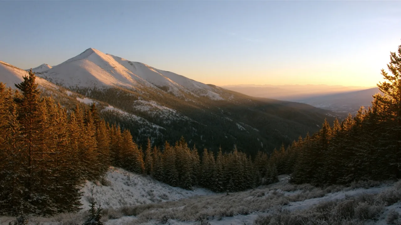
Colorado landscape — scene-setting, not a photograph of the trail.
- Length
- 27 mi
- Elevation gain
- 8,000 ft
- Difficulty
- Very strenuous
27 mi · 4 passes over 12,000 ft · 50 daily wilderness permits June–September (recreation.gov, 1 month ahead). Maroon Creek Road closes to private cars 8am–5pm — RFTA bus from Aspen Highlands. Silver Bell USFS at 22-ft.
Field almanac
- State
- Colorado
- Trail type
- Long distance
- Sources
- Cited official (.gov / .org)
At a glance
The facts that set the plan
The trail’s own numbers plus the rig-truth at the trailhead — always worth confirming against current agency conditions before you roll out.
Length
27 mi
Elevation gain
8,000 ft
Difficulty
Very strenuous
Trailhead parking
100 spaces
Car-only lot
Shuttle
Required
Permit
Required
The trail
Walking the Maroon Bells Four Pass Loop
The Maroon Bells Four Pass Loop is the most-photographed multi-day wilderness loop in Colorado — 27 miles, four 12,000-foot passes (West Maroon, Frigid Air, Trail Rider, Buckskin), and 8,000 vertical feet of cumulative climb that earned the route its very-strenuous rating despite being hikeable in 3-4 days. Overnight permits via recreation.gov are required June through September (50 daily permits, drawn one month ahead) and the day-use crowd at Maroon Lake reaches 1,500 visitors during peak season. The Maroon Creek Road is closed to private vehicles 8am–5pm peak season — visitors board the RFTA bus from Aspen Highlands. Rigs are barred entirely above the bus station; the closest USFS RV-friendly campground is Silver Bell at 22-ft rig cap, dry only, 4 miles from the trailhead. Snow lingers on the passes through mid-July most years, and Trail Rider Pass holds snow until August in heavy years.
Where the rig goes
Stage the rig, then walk in
The trail is administered by Maroon Bells-Snowmass Wilderness, White River National Forest. On a trail like this the rig rarely reaches the trailhead itself — the planning fact is where it waits while you walk.
The staging trailhead holds roughly 100 vehicles, and the lot is car-only — leave the rig at the nearest basecamp and arrive early. In season a shuttle is the practical way to the trailhead. Secure the permit or lottery slot before you build the trip around it.
Closest RV-friendly basecamp: Silver Bell Campground (USFS, 22-ft rig cap, dry, 4 mi from trailhead).
Official sources
- Aspen area US Forest Service
- Permits US Forest Service
- Maroon bells Trail conservancy (.org)
Colorado rules · last verified 2026-05-10
- State rental tax
- 7.6% · not collected by PickRV
- Min driver age
- 21+ std · 25+ Class A
- Gravel roads
- Varies by rig — verify with your host
- Generator quiet
- 22:00-07:00
Nearby & related
Keep planning Colorado
Sourced costs, campground directories, and the places worth a detour — the next layer of Colorado trip planning.
- Colorado RV rental costFuel · camping · tax, sourced
- Colorado RV-friendly campgroundsHookups, rig limits, booking tips
- Campervan & van rentals in ColoradoVan-life routes, rules & rigs
- RV rentals in ColoradoPickRV Wiki · 6 min read
- Lakes & reservoirsWaterside camps & guides
- Hot springsSoak-worthy road stops
- Ghost townsBoom-and-bust detours
- RV driving & licensingLicenses, lanes & low bridges
Planning an RV trip to Colorado?
Was this guide helpful?