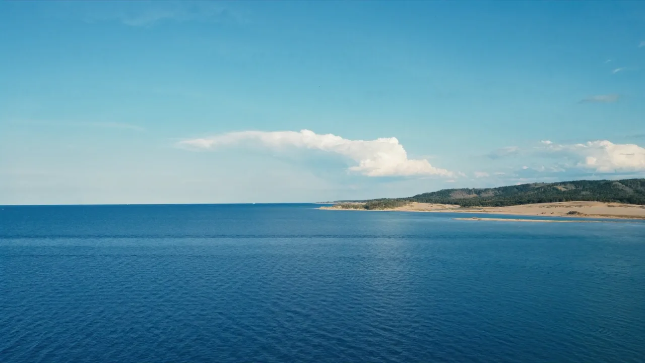
Pictured Rocks National Lakeshore runs along Lake Superior on Michigan's Upper Peninsula, where mineral-stained sandstone cliffs rise in bands of color above clear, cold water. Sea caves, arches, and waterfalls line the shore, best seen from the water or from clifftop overlooks. The lakeshore is a summer-and-fall destination, with brilliant autumn color along the forested rim.
Best season — Summer and fall (foliage late September–October)
Does Pictured Rocks have RV camping?
There are NPS and nearby campgrounds along the Pictured Rocks area, though many are small with rig-size limits, and some are first-come. The season is mainly late spring to fall. Check the official NPS site for current campground details.
- NPS + nearby campgrounds (size limits)
- Late spring–fall season
- Strong fall color in late September–October
At a glance
The facts worth checking before you roll out
Conservative, source-minded facts for planning your visit — always worth confirming against current conditions before you travel.
State
Michigan (Upper Peninsula)
On
Lake Superior shoreline
Gateways
Munising, Grand Marais
On the ground
The cliffs are most famously seen on the water, where their colored bands and formations are fully visible; clifftop overlooks and trails offer land-based views.
Lake Superior keeps the area cool, and autumn brings both vivid foliage and quieter trails before winter closes much of the access.
Confirm campground availability, rig limits, and trail or road status on the National Park Service site before you go.
Official sources
- National Park Service — Pictured Rocks National Lakeshore National Park Service
Nearby & related
Keep planning Michigan
Sourced costs, campground directories, and the places worth a detour — the next layer of Michigan trip planning.
- Michigan RV rental costFuel · camping · tax, sourced
- Michigan RV-friendly campgroundsHookups, rig limits, booking tips
- Campervan & van rentals in MichiganVan-life routes, rules & rigs
- BattlefieldsHallowed-ground history stops
- National memorialsMonumental road stops
- National preservesBackcountry-scale wilds
- RV lifehacksCamp-smarter field tricks
Planning an RV trip near Pictured Rocks: An RV Traveler's Guide?
Was this guide helpful?