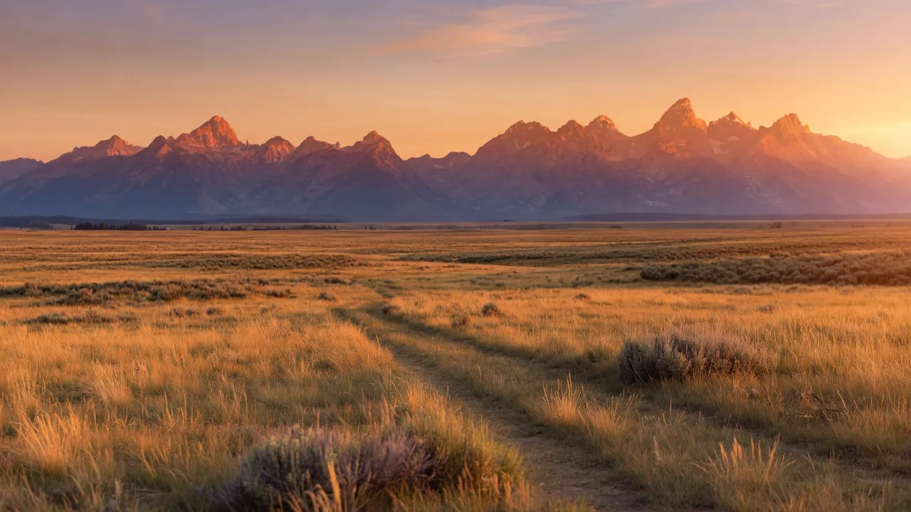
Where the Missouri River cuts through central Montana, the Upper Missouri River Breaks National Monument unfolds a vast backcountry of stark white cliffs, eroded badlands, and grassy benches. Managed by the Bureau of Land Management, this remote preserve safeguards a historic river corridor that transported Lewis and Clark, fur traders, and steamboat captains. Today, the monument offers solitude, wildlife viewing, and a rare chance to float or camp along a stretch of river that has changed little in centuries.
Best season — Late spring through early fall, when river levels support paddling (typically May through early July) and the weather allows comfortable hiking and camping; September and October bring mild temperatures and fewer bugs.
What makes the Upper Missouri River Breaks special?
It preserves a remarkably intact stretch of the historic Missouri River, with towering white cliffs, serene cottonwood groves, and a remote badlands landscape that feels much as it did centuries ago.
- The monument protects 149 miles of the Missouri River corridor, from historic Fort Benton to the Robinson Bridge.
- Towering white cliffs, eroded badlands, and grassy cottonwood benches define its rugged landscape.
- There is no entrance fee, but cross-country driving is not allowed within the monument.
At a glance
The facts worth checking before you roll out
Conservative, source-minded facts for planning your visit — always worth confirming against current conditions before you travel.
Managing agency
Bureau of Land Management (North Central Montana District Office)
State
Montana
Defining characteristic
Spans the Missouri River from historic Fort Benton 149 miles downstream to the Robinson Bridge
Access
No entrance fee; off-road (cross-country) driving is not allowed in the monument
On the ground
The Upper Missouri River Breaks National Monument protects a 149-mile stretch of the Missouri River, from Fort Benton to Robinson Bridge. This remote Montana landscape features striking white cliffs and eroded badlands, preserving a historic river corridor used by explorers and traders. The Bureau of Land Management manages this area for its solitude and unique natural qualities.
RV travelers come here seeking off-grid adventure along the Missouri River. Popular activities include wildlife viewing, angling, and paddling when conditions allow. Though cross-country driving is prohibited within the monument itself, opportunities exist to experience the surrounding terrain and access the river's edge for exploration.
The best time to visit spans late spring through early fall. Paddling is often favorable from May to early July depending on river levels. September and October offer milder temperatures with fewer insects, making them ideal for hiking and enjoying the scenery. Planning a trip during these months can maximize outdoor comfort.
Consider establishing a basecamp in the surrounding area while exploring the monument. From there, day trips provide access to various points along the 149-mile river corridor. There is no entrance fee to the monument, allowing for flexible exploration of this vast and historically significant landscape.
Official sources
- Bureau of Land Management — Upper Missouri River Breaks National Monument Bureau of Land Management
Nearby & related
Keep planning Montana
Sourced costs, campground directories, and the places worth a detour — the next layer of Montana trip planning.
- Montana RV rental costFuel · camping · tax, sourced
- Montana RV-friendly campgroundsHookups, rig limits, booking tips
- Campervan & van rentals in MontanaVan-life routes, rules & rigs
- Estuary reservesQuiet coastal reserves
- National grasslandsWide-open prairie drives
- LighthousesCoast-road waypoints
- RV renter basicsFirst-rental fundamentals
Planning an RV trip near Upper Missouri River Breaks National Monument: An RV Traveler's Guide?
Was this guide helpful?