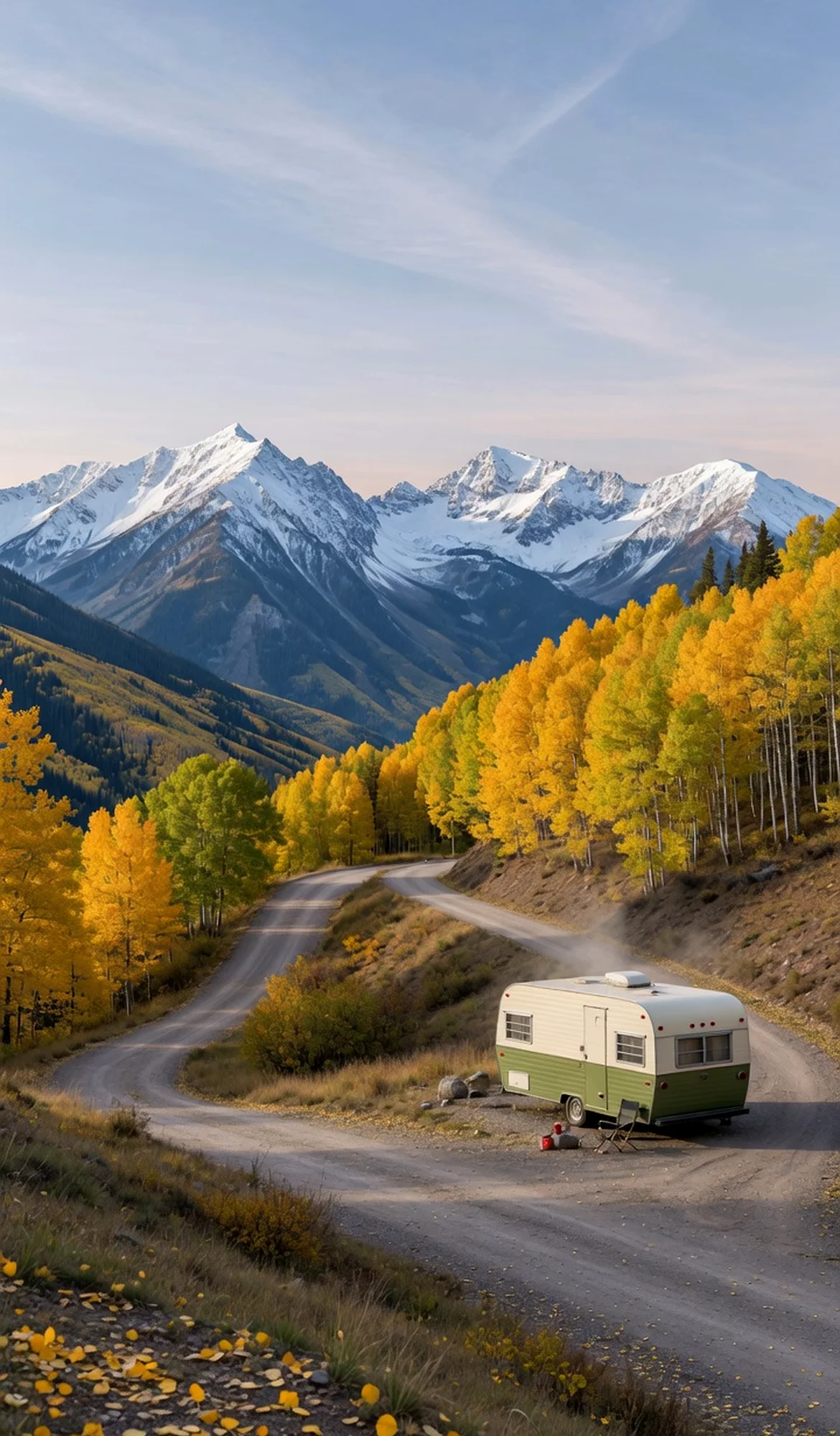
Red sandstone canyons and rugged bluffs frame the Gunnison River in this remote Colorado landscape managed by the BLM’s Grand Junction Field Office. The conservation area holds the Dominguez Canyon Wilderness, a quiet backcountry of dramatic geology that spans 1.4 billion years. Off-highway vehicle trails weave through the terrain, while the river invites paddling and unhurried exploration. RV travelers seeking solitude can find dispersed camping beneath wide skies, where the stillness is broken only by wildlife and the whisper of the river.
Best season — Spring and fall provide mild hiking and camping weather; summer brings heat but prime river conditions.
What makes Dominguez-Escalante National Conservation Area special?
It combines the remote Dominguez Canyon Wilderness, the scenic Gunnison River corridor, and extensive off-highway trails in a single protected landscape. The area reveals 1.4 billion years of geology, inviting solitude among cliff-lined canyons and offering a rare blend of river recreation and high-desert exploration.
- Contains the remote Dominguez Canyon Wilderness, where rugged canyons and bluffs rise above the Gunnison River.
- Geologic and paleontological resources record 1.4 billion years of Earth’s history.
- Offers recreation on the river, plus a network of off-highway vehicle trails through dramatic canyon terrain.
At a glance
The facts worth checking before you roll out
Conservative, source-minded facts for planning your visit — always worth confirming against current conditions before you travel.
Managing agency
Bureau of Land Management (BLM), administered by the Grand Junction Field Office
State
Colorado
Defining characteristic
Includes the remote Dominguez Canyon Wilderness, recreation along the Gunnison River, and a network of off-highway vehicle trails amid rugged canyons and bluffs
Geologic resources
Geological and paleontological resources spanning 1.4 billion years
On the ground
Dominguez-Escalante National Conservation Area protects a remote Colorado landscape shaped by the Gunnison River and dramatic canyons. Managed by the Bureau of Land Management, this area preserves geological history spanning 1.4 billion years. The conservation area offers opportunities to experience solitude and a unique blend of high-desert environments along the river corridor.
RV travelers often enjoy exploring the network of off-highway vehicle trails winding through sheer canyon walls. River access allows for paddling and leisurely exploration of the Gunnison’s course. Dispersed camping is available throughout, providing quiet sites beneath open skies. The area also holds historical significance from the Dominguez-Escalante expedition.
Spring and fall seasons offer pleasant temperatures ideal for hiking and camping within the conservation area. Summer brings warmer conditions suitable for river recreation, though travelers should prepare for heat. Planning a visit during these times allows enjoyment of both the landscape’s beauty and its diverse recreational opportunities.
Consider establishing a basecamp in a nearby community to facilitate day trips into Dominguez-Escalante. From there, RVers can access different sections of the conservation area, exploring canyons, river corridors, or OHV trails at their own pace. This approach allows for comfortable exploration of this remote western Colorado landscape.
Official sources
- Bureau of Land Management — Dominguez-Escalante National Conservation Area Bureau of Land Management
Nearby & related
Keep planning Colorado
Sourced costs, campground directories, and the places worth a detour — the next layer of Colorado trip planning.
- Colorado RV rental costFuel · camping · tax, sourced
- Colorado RV-friendly campgroundsHookups, rig limits, booking tips
- Campervan & van rentals in ColoradoVan-life routes, rules & rigs
- RV rentals in ColoradoPickRV Wiki · 6 min read
- LighthousesCoast-road waypoints
- Sand dunesDune fields worth the climb
- Fossil sitesDeep-time road stops
- RV driving & licensingLicenses, lanes & low bridges
Planning an RV trip near Dominguez-Escalante National Conservation Area: An RV Traveler's Guide?
Was this guide helpful?