RV route guide
Trail Ridge Road — Rocky Mountain NP
48 miles over a 12,183-ft alpine ridge — the highest paved continuous road in any US national park.
Trail Ridge Road traverses Rocky Mountain National Park between Estes Park and Grand Lake, Colorado. At 12,183 feet, the high point is the highest paved continuous road in any US national park. Eleven of the road's 48 miles run above treeline, exposed to alpine tundra and weather. Compared to Going-to-the-Sun Road or Million Dollar Highway, Trail Ridge is genuinely RV-friendly — no length limit, wide lanes, gentle grades, and a graded shoulder. The constraint here is timed entry and altitude, not the road geometry.
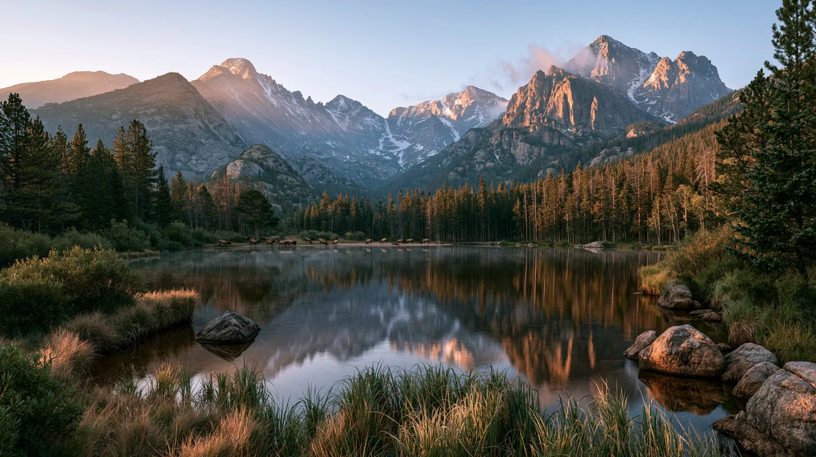
Is Trail Ridge Road RV-friendly?
Yes — Trail Ridge Road has no posted length limit and wide enough lanes for Class A motorhomes. The 5-7% grades are sustained but never extreme. The road is a federal-spec highway, engineered for buses and the largest passenger vehicles of the 1930s. The constraints for RV travelers are: timed-entry reservation for Rocky Mountain NP (which Trail Ridge crosses), the 12,183-ft elevation affecting engine performance, and afternoon thunderstorms in summer that demand morning crossings.
- No posted length limit — RV-friendly
- 48 miles Estes Park to Grand Lake
- 12,183-ft summit (highest paved continuous in US NPs)
- Timed-entry reservation required for park in summer
- Late May to mid-October window
At a glance
Route facts worth checking before you roll out
Conservative, source-minded numbers for planning — always confirm against current conditions and state DOT 511 before you depart.
Distance
48 mi
Estes Park to Grand Lake via Trail Ridge Road
Drive time
2–4 hr
1 day
Elevation
7,522–12,183 ft
RV compatibility
RV-friendly
Best season
Late June through early September. Trail Ridge typically opens late May but full elevation profile requires snowpack clearance into late June. October closures begin late month.
Cell coverage. Limited service. Verizon has signal at Alpine Visitor Center. AT&T weaker. T-Mobile minimal. Plan as offline.
Elevation profile
Estes Park sits at 7,522 ft. Climbs to 12,183 ft at the high point. Drops to 8,367 ft at Grand Lake.
11 miles run above treeline
Vehicle restrictions
- No posted length, width, or weight limits
- 5-7% sustained grades, well-engineered
- High altitude affects gas + diesel engine power
- Lightning exposure above treeline — get below treeline before storms
Why Trail Ridge is RV-friendly
Trail Ridge Road was completed in 1932 as a federal-spec mountain highway, engineered to accommodate the tour buses of the era. The lane widths, the radii of the switchbacks, and the engineered grade all reflect a deliberate choice to make the road accessible to large vehicles. That engineering still applies to modern Class A motorhomes.
The road's two greatest challenges for RV travelers are unrelated to road geometry. The first is altitude. At 12,000+ feet, every gasoline engine loses roughly 30% of sea-level power. Diesel engines fare better but still lose 15-20%. Plan for slow climbing and a long descent.
The second is weather. The 11 miles above treeline are exposed to lightning, hail, and high winds. Afternoon thunderstorms develop quickly in July and August. Plan to be off the high ridge by noon during the summer storm season.
Trail Ridge departure checklist
Reserve park entry via Recreation.gov
Timed-entry permit required late May through mid-October. Book at recreation.gov/timed-entry/10086910.
Plan a morning crossing
Lightning risk above treeline is highest 1-4 p.m. Plan to be at Alpine Visitor Center by 11 a.m. and through to Grand Lake by 1 p.m.
Fuel before the climb
Estes Park and Grand Lake have fuel; the central 30 miles do not.
Carry water + warm layers
Alpine Visitor Center is at 11,796 ft. Temperatures can be 30-40°F lower than valley. Hypothermia possible mid-summer.
Allow altitude acclimation
If coming from sea level, spend a night at Estes Park or Grand Lake before crossing. Sudden ascent to 12,000 ft causes altitude effects in many.
Real warnings
Get below treeline before thunderstorms
11 miles above treeline + lightning = serious risk. Storms develop quickly. Have an exit plan.
dangerWildlife strikes increase at dusk
Elk, bighorn sheep, mountain goats on the road. Drive slowly in low-light conditions.
cautionVehicle reservation required
Without a timed-entry reservation, the park gate will turn you back. Reservations open 60 days in advance + a next-day window.
infoBrake management on Grand Lake side
8-mile sustained descent into Grand Lake. Use engine braking. Don't ride the service brakes.
cautionOld Fall River Road is one-way uphill, dirt
Alternative route up to Alpine Visitor Center, one-way uphill only, dirt surface, RV-unsuitable. Don't accidentally take it.
info
What NPS Rocky Mountain National Park doesn't tell you
The NPS site describes Trail Ridge as 'the highest continuous paved road in the United States' but doesn't tell you which RVs comfortably handle it (most do) or which season actually works (mid-July to early September). The site is conservative on weather, optimistic on opening dates, and silent on real RV preparedness.
What rangers will tell you in person (we've asked): Trail Ridge is engineered for big vehicles. The challenges are altitude effects and weather. Class A motorhomes routinely cross. The challenge is timing the crossing for good weather and good visibility.
The Park Service also doesn't tell you that the timed-entry system actually helps RV travelers. Crowds are now managed. Parking at Rainbow Curve and Forest Canyon overlooks is reliably available. Compared to the pre-2020 free-for-all, the timed entry has made the experience genuinely better.
Frequently asked questions
- Do I need a separate reservation for Trail Ridge?
- No — the timed-entry reservation for Rocky Mountain NP covers Trail Ridge access. There is no separate Trail Ridge permit. Park entrance fee or annual pass also required.
- Where can I camp along the route?
- Moraine Park, Glacier Basin, and Timber Creek are the three NPS campgrounds. All have RV-suitable sites. Timber Creek (Grand Lake side) is the largest with full hookups. Reserve via Recreation.gov.
- Can I drive Trail Ridge in October?
- Sometimes yes — the road typically closes mid to late October when first major snow arrives. NPS posts the closure date as it happens. October crossings carry real snow risk.
- What about Old Fall River Road?
- Old Fall River Road is an unpaved, one-way uphill route that climbs from Endovalley to Alpine Visitor Center. RV-unsuitable. Don't take it accidentally. The signed route from Estes Park follows US-34 (Trail Ridge Road) — keep watching for the signs.
Authoritative sources
Verify current conditions with state DOT 511 systems before departure. RV restrictions may change. Weather may close roads.
Planning an RV trip along Trail Ridge Road?
Was this guide helpful?