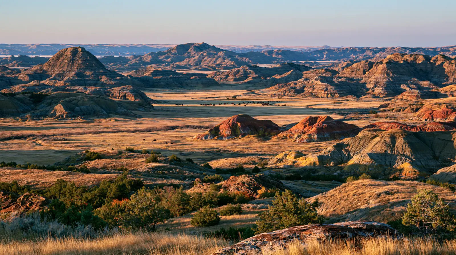
National park · Medora, ND
Theodore Roosevelt National Park
What the source pages say
Maximum vehicle length among pull-through sites varies. Many sites are quite larger (over 50 feet).
nps.gov, read Sep 24, 2026Dump Station: Yes, Seasonal
nps.gov, read Sep 24, 2026Cottonwood Campground is open year-round.
nps.gov, read Sep 24, 2026
Going to Theodore Roosevelt National Park? Tell us the nights.
One email when a North Dakota owner lists a rig for those nights.
Theodore Roosevelt National Park questions
- What length RV fits Theodore Roosevelt National Park?
- Pull-through sites at Cottonwood: Many over 50 ft — per nps.gov, read Sep 24, 2026.
- Is there a dump station at Theodore Roosevelt National Park?
- Dump station at Juniper: Seasonal — per nps.gov, read Sep 24, 2026.
- Can I run a generator at Theodore Roosevelt National Park?
- Our record: 8:00am-8:00pm at both campgrounds.
- When is the camping season at Theodore Roosevelt National Park?
- Season at Cottonwood: Year-round — per nps.gov, read Sep 24, 2026.
PickRV
Published by PickRV
Official park page confirmed live on July 25, 2026.
More on Theodore Roosevelt National ParkField notes, rig limits by loop, seasons, what to do, quiet spots
Theodore Roosevelt National Park sits in the North Dakota badlands and splits into two developed units ~70 miles apart: the busier South Unit at Medora (Exits 24/27 off I-94, ~130 miles west of Bismarck) and the quieter North Unit near Watford City. Each unit has one NPS campground — Cottonwood (South, 76 sites) and Juniper (North) — both primitive with no hookups and no showers. The signature draw is wildlife: free-roaming bison, wild horses, prairie dogs and elk, viewed from the units' scenic drives. The South Unit's 36-mile Scenic Loop Drive reopened in November 2025 after a six-year, ~$51M slide-repair closure, so a full loop is finally drivable again for the 2026 season.
The notes below are PickRV's editorial record. Only the figures in the strip at the top of the page, each with its link and date, were re-read on the park's own pages.
What the official site doesn't tell you
PickRV editor's field notes
NPS.gov says both campgrounds are 'primitive — no hookups,' and older RV blogs flatly claim 'no dump station anywhere in the park.' That's wrong, and it's the kind of error that strands you with full tanks. The truth: there IS a sanitary dump station near the entrance of Juniper Campground in the North Unit, plus two in Medora (Medora Campground ~$5 and Buffalo Gap off I-94 Exit 18). What trips people up is the two-unit geography: Cottonwood in the South Unit has no on-site dump, so South Unit campers dump in Medora a few minutes away, not in the park. Second gotcha: water is seasonal — often off before mid-May and after October 1 — so arrive with full fresh tanks in shoulder season. Third: Juniper's tree canopy quietly caps high-profile rigs around 13ft tall and makes anything over ~35ft a tight squeeze, even though a few pull-throughs read 50ft+. Fourth: the South Unit Scenic Loop only reopened in late 2025, so trip-planning sites and printed guides are a step behind.
Rig limits by loop and road
Length + clearance
- ·Park-wide, our record: 50 ft
- ·Cottonwood Campground (South Unit): 50 ft — 76 sites, mix of back-in and pull-through; pull-throughs commonly fit 45-50ft, with the largest pads taking bigger rigs. No hookups. Reservations required at Recreation.gov beginning May 1, 2026
- ·Juniper Campground (North Unit): 35 ft — Pull-throughs over 50ft exist, but back-ins max ~20ft and tight forested turns make it hard for rigs over ~35ft. HEIGHT-LIMITED by low tree branches (see clearance)
- ·South Unit Scenic Loop Drive (36mi): 50 ft — Reopened Nov 25, 2025 after a 6-year closure; full loop drivable for 2026. Narrow shoulders and switchbacks — fine for the rig but a toad/tow vehicle is easier
- ·North Unit Scenic Drive (14mi one-way to Oxbow Overlook): 50 ft — Out-and-back, ~30 min each way; no loop. Steep grades climbing out — gear down on the descent
- ·Juniper Campground (North Unit): low tree branches mean high-profile RVs over ~13ft tall may not be accommodated on many sites — scout your loop before committing
- ·No tunnels or posted height-restricted bridges on the park scenic drives themselves
- ·Walk-to/tent sites at both campgrounds are passenger-vehicle only — no trailers or oversized vehicles
Dump + generator
- ·Dump station: A sanitary dump station is located near the ENTRANCE of Juniper Campground in the North Unit, and another is in the town of Medora (Medora Campground, ~$5; Buffalo Gap off I-94 Exit 18). Cottonwood Campground in the South Unit has NO on-site dump — use Medora, a few minutes away. Dump/water are seasonal (roughly May-Sept) (Free near Juniper; ~$5 at Medora Campground)
- ·Generators: 8:00am-8:00pm at both campgrounds; mufflers required. Quiet hours 10pm-6am
Boondock alternative within 10-15 min from the South Unit — National Grassland surrounds both units with free dispersed camping; verify open roads and the 14-day grassland limit
Buffalo Gap Campground and dispersed sites on Little Missouri National Grassland (USFS), off I-94 Exit 18 west of Medora
Seasons and closures
Full season: Cottonwood (South Unit): open year-round. Juniper (North Unit): open year-round but services scale back off-season. Reservations required at Recreation.gov beginning May 1, 2026
Limited access: Water fill is available through about October 1 and is often not running by early May or after October 1 — carry water in shoulder season. North Unit scenic drive can close in winter snow/ice
Known closures:
- ·Cottonwood Campground + Roundup Group Horse Camp CLOSED June 28 - July 10, 2026 to support the Theodore Roosevelt Presidential Library / America 250 grand-opening event — do NOT book the South Unit campground for that window in 2026
- ·South Unit Scenic Loop Drive was closed in part for ~6 years (2019 rain slides) and only fully reopened Nov 25, 2025 — older guides still call it closed; it is open for 2026
- ·Painted Canyon Visitor Center (I-94 Exit 32) operates seasonally, roughly April 1 - November 11
What to do at Theodore Roosevelt National Park
- South Unit Scenic Loop Drive (36mi)
- Reopened Nov 2025; bison, wild horses and prairie-dog towns right from the road. Drivable in a big rig but a toad makes pullouts easier
- Painted Canyon Overlook & Visitor Center
- I-94 Exit 32, 7mi east of Medora; biggest badlands panorama with RV-friendly parking — open roughly April-November
- North Unit Scenic Drive to Oxbow Overlook (14mi)
- Out-and-back to a sweeping Little Missouri River bend; cannonball concretions and longhorn herd along the way
- Wild horses & bison herds
- South Unit is one of the few NPS units with free-roaming wild horses; give bison 25+ yards and never approach from the rig door
Hidden — not on the official map
PickRV editor's quiet spots
Buffalo Gap (Little Missouri National Grassland)
Off I-94 Exit 18; quiet USFS camping plus a dump station — a cheaper basecamp than fighting for an in-park site
Wind Canyon Trail (South Unit)
Short rim walk to the best Little Missouri River sunset bend in the park; small lot, arrive before the evening crowd
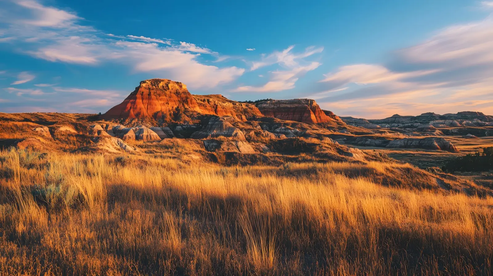
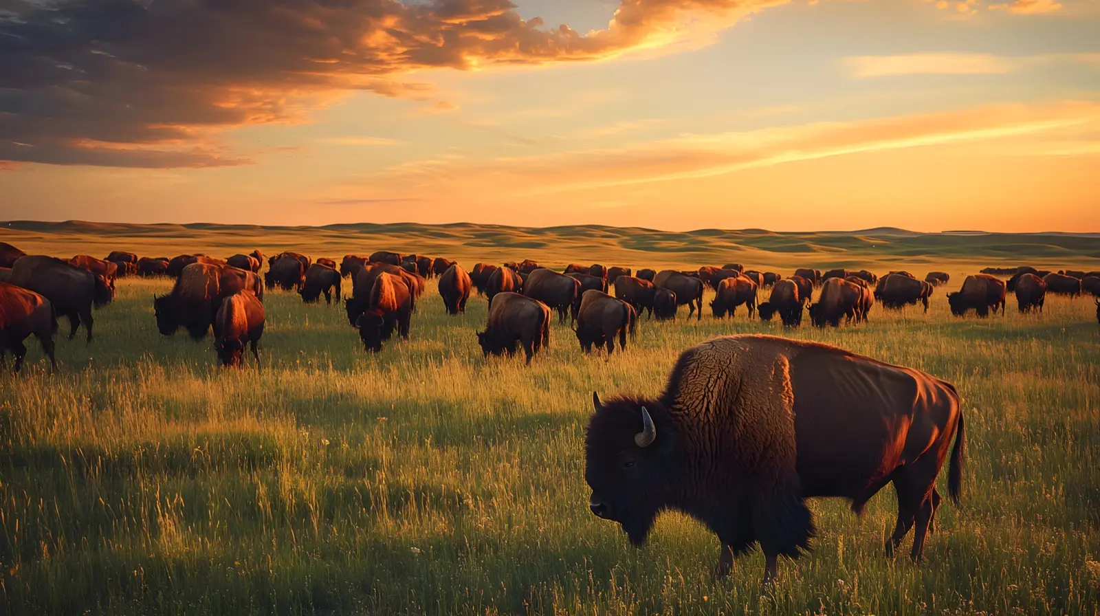
North Dakota scenery around Theodore Roosevelt National Park
Landscapes from around North Dakota — the country you cross on a Theodore Roosevelt National Park RV trip.

Weather, air, sky and park alerts right nowLive for Theodore Roosevelt National Park. Open-Meteo, sunrise-sunset.org, National Park Service alerts.
Will my rig fit? Try your lengthChecks a length against the park caps in our record.
Keep planning North Dakota
Other park guides
Around North Dakota
RV rentals in North Dakota
Owners in North Dakota list their rigs on the state page.
Browse North Dakota rigsThis guide is provided for general informational purposes only. PickRV is not an insurer, legal advisor, or vehicle-safety authority. Trip planning, route selection, rig suitability, weather, and emergency decisions are the renter's responsibility. Always consult the rig manufacturer's owner's manual, your insurance provider, the U.S. National Park Service (nps.gov), NOAA / NWS weather alerts (weather.gov), state and local emergency-management agencies, and current local regulations before and during travel. Cost figures, season windows, road conditions, and fee references on this page are estimates as of May 2026 and vary by season, location, rig, carrier, and operator. Mentions of brand names, state-tourism marks, national-park feature names, or third-party programs are informational only and do not imply affiliation, sponsorship, or endorsement.
North Dakota rules to know before you rent
Per-state legal callout · ND
Before you rent in North Dakota — key local rules
Renters drive motorhomes under 26,001 lbs on a standard license
NDDOT's Driver License Types page defines the non-commercial (Class D) license as covering any single vehicle less than 26,001 pounds GVWR, towing up to 10,000 lbs. The same page lists RVs and campers among vehicles operable without a commercial license.
ND DOT · verified 2026-08-02
No mandatory boater education for adults
North Dakota does not require boater education for adults. Game & Fish offers voluntary courses.
ND Game & Fish — Boating · verified 2026-05-24
OHV registration through NDDOT; Pembina Gorge is the main riding area
With limited exceptions, off-highway vehicles operated on North Dakota public land must be registered with the North Dakota Department of Transportation at any of its statewide offices. Pembina Gorge State Recreation Area is the state's principal public OHV trail system. The Maah Daah Hey Trail is non-motorized — motorcycles, ATVs, UTVs and snowmobiles are prohibited on it.
USFS — Maah Daah Hey Trail, Dakota Prairie Grasslands · verified 2026-08-02
North Dakota BAC 0.08%; open container in passenger area prohibited
North Dakota enforces 0.08% BAC for non-commercial drivers. Open alcoholic containers prohibited in passenger areas on public highways.
ND Cent. Code §39-08-01 · verified 2026-05-24