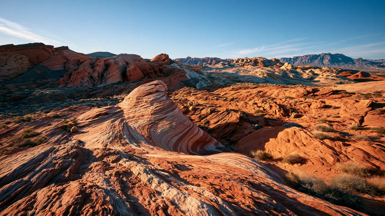
A vast, unfragmented public landscape in northwestern Nevada’s Great Basin, this national conservation area pairs an immense, bone-white alkaline playa with dark volcanic highlands dissected into deep, narrow canyons. Wagon ruts from historic emigrant trails still etch the earth—a tangible imprint of 19th-century overland migration. The region’s exemplary darkness reveals a brilliant Milky Way, and the scale and silence deliver a profound desert solitude.
Best season — Spring and fall bring mild, often breezy days perfect for exploring. Summer temperatures regularly exceed 100°F on the playa, and winter snow can make high-clearance canyon routes impassable. Late April through early June and September through October are the prime visiting windows.
What draws visitors to this remote corner of Nevada?
The chance to experience true solitude and scale: a sterile white playa, historic pioneer inscriptions, towering canyon walls, and night skies free of light pollution.
- Vast alkaline playa stretching across about 200 square miles
- Historic emigrant trail segments with pioneer inscriptions
- Dark night skies ideal for stargazing
At a glance
The facts worth checking before you roll out
Conservative, source-minded facts for planning your visit — always worth confirming against current conditions before you travel.
Managing agency
Bureau of Land Management (Black Rock Field Office)
State / location
Northwest Nevada
Established
By Congress in 2000 (December 21, 2000)
Defining feature
Includes 10 designated wilderness areas and ~175 miles of historic Emigrant Trails segments; the Black Rock Desert playa covers about 200 square miles
On the ground
The Black Rock Desert-High Rock Canyon Emigrant Trails National Conservation Area protects a vast, unfragmented landscape in northwestern Nevada. Established in 2000, this area pairs the immense alkaline playa with dark volcanic highlands and deep canyons. It’s significant for preserving tangible evidence of 19th-century overland migration along historic emigrant trails, offering a direct link to pioneer history.
RV travelers here explore an expansive landscape featuring approximately 200 square miles of dry lakebed and a network of canyons. Visitors can walk the mirror-flat playa, trace segments of historic emigrant trails, and discover pioneer inscriptions on rock walls. The area’s raw, undeveloped nature provides a unique sense of open space and solitude for those seeking connection with the past.
Spring and fall provide the most favorable conditions for RV travel within this conservation area. These seasons offer mild temperatures and breezy days suitable for exploration. Summer heat regularly exceeds 100°F on the playa, while winter snow can render high-clearance canyon routes impassable, limiting access during those times.
Consider establishing a basecamp in a nearby community to facilitate day trips into the conservation area. From there, RVers can explore the playa and canyons at their own pace. The Bureau of Land Management manages this expansive region, ensuring its preservation for future generations seeking solitude and connection with Nevada’s history.
Official sources
Nearby & related
Keep planning Nevada
Sourced costs, campground directories, and the places worth a detour — the next layer of Nevada trip planning.
- Nevada RV rental costFuel · camping · tax, sourced
- Nevada RV-friendly campgroundsHookups, rig limits, booking tips
- Campervan & van rentals in NevadaVan-life routes, rules & rigs
- National preservesBackcountry-scale wilds
- Lakes & reservoirsWaterside camps & guides
- Hot springsSoak-worthy road stops
- Deep trip guidesLong-form seasonal playbooks
Planning an RV trip near Black Rock Desert-High Rock Canyon Emigrant Trails National Conservation Area: An RV Traveler's Guide?
Was this guide helpful?